Currently, the GIS industry is developing several software packages to provide on-line mapping functions, such as ESRI’s ArcIMS, INTERGRAPH’s GeoMedia Web Map, and SmallWorld’s Internet Application Server. These software packages adopt different network technologies and software platforms. The architecture of web servers and the design of map display engines are also different among these packages. This research will evaluate their performances and implementation procedures by comparing their response time, client capacities, network communications, and mapping functions.
ER Mapper's Image Web Server
SDSU campus
SD Stadium
Image Web Server Samples
ArcIMS Internet Map Server (ESRI product)
(HTML Viewer)
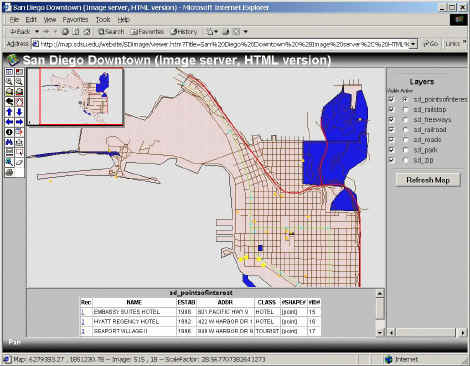
San Diego Downtown (Image server
-- JPEG display) HTML version
(Java Viewer, Java Plug-in download required)
San Diego Downtown (Feature
server -- Vecotr display) Java Standard version
San Diego Downtown (Feature
server -- vector display) Java Customized version
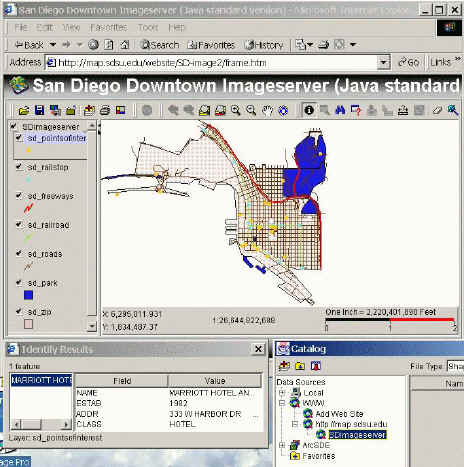
San Diego Downtown (Image
server -- raster display) Java Standard version
Platform:
UNIX or Windows NT (2000).
Web Server with Servlet Engine (not included)
Application Server (Middle-ware)
Spatial Server + Database (ArcSDE)
Technologies:
Remote administration (Servlet Engine)
Extensible Markup Language (XML) --> ArcXML
JavaScripts, Java applets and Servlets
Display: vector (feature server) and raster (image server)
Client browser: HTML version or Java applets version.
Software demos:
SANDAG ArcIMS Interactive Maps
Property Maps -parcels,
roads, topography, SanGIS grid
Natural Features Maps
-flood plains, geologic hazards, MSCP
The Johnson County Automated Information Mapping System - AIMS http://www.jocoks.com/aims/ims/index.htm
ESRI demo: City Front Counter
http://maps7.esri.com/website/city_frontcounter/parcels
(Search and retrieve property information, Data courtesy of City of Ontario,
California.)
AutoDesk MapGuide (AutoDesk)
Platforms:
Windows NT 2000.
Web Server (IIS) or Netscape Enterprise.
Database connection: OLE-DB or ODBC
Database support: Oracles 8i and Microsoft SQL server
Technologies:
Spatial Data Files (SDFs)
Microsoft COM-based development environment.
Client: Arctive CGM plug-in (Computer Graphics Metafile)
Display: vector and raster
Viewer: Plug-ins and HTML version.
Software demo:
AutoDesk: http://www.mapguide.com/SampleApps/
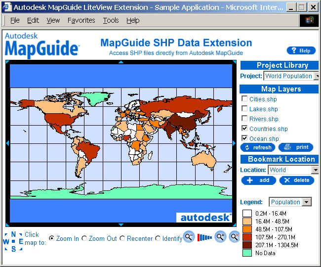
World Thematic Map. This application showcases a global thematic map. (No
viewer required).
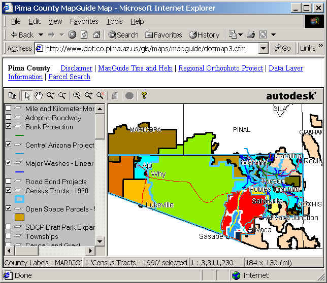
Local Government Application. Explore land parcel and ownership data and monitor
water and wastewater. (Viewer required)
Tutorials
GeoMedia Web Map (INTERGRAPH product)
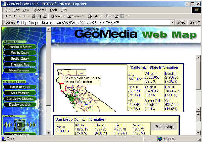
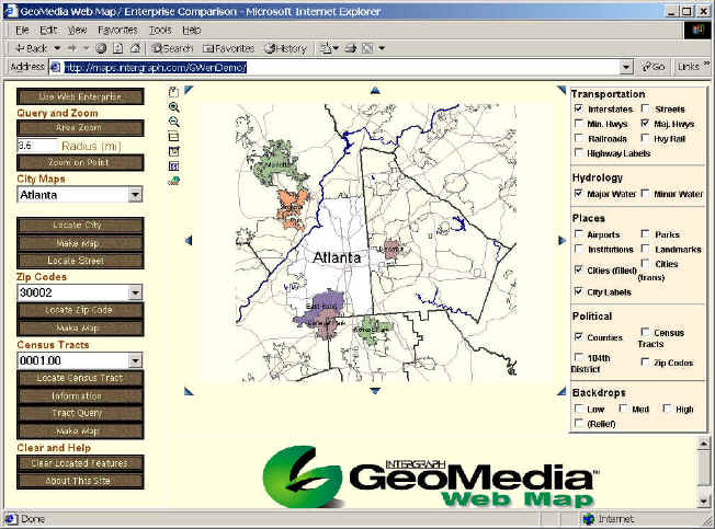
Platforms:
Windows NT (2000) only.
Web Server (IIS) with Active Server Pages (ASP)
COM + ODBC
GeoMedia Data Servers --> multiple types of data
Technologies:
Microsoft COM based technology.
ActiveX scripting, ActiveX controls, and VB Script
Client: Arctive CGM plug-in (Computer Graphics Metafile)
Display: vector -- ActiveCGM + MDF (Map definition Files)
raster -- GeoTIFF, JPEG, GIF, INTERGRAPH
Software Demo:
INTERGRAPH http://maps.intergraph.com/GWenDemo/
SmallWorld’s Internet Application Server (SmallWorld product)
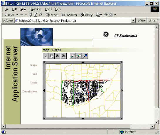
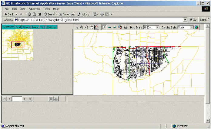
Platforms:
Intel chip platforms: Windows NT (2000) or RedHat Linux 6.1.
Web Server: IIS (win), Netscape Enterprise, or Apache (Linux)
Smallworld 3 core products and extended services
Middle-ware: CGI or Servlet Engine (not included).
Technologies:
Conform to OpenGIS WMT (Web Mapping Test-bed) specification.
Smallworld Magik for developing new services
Standard Transforms. (data conversion)
Smallworld: Object-Oriented GIS
Client browser: HTML version or Java version (Java applets or Java applications).
Others:
MapInfo MapXtreme, Bentley Systems ModelServer Discovery, etc.
You can also download the Powerpoint Presentation: Dynamic Mapping and Software Demos
