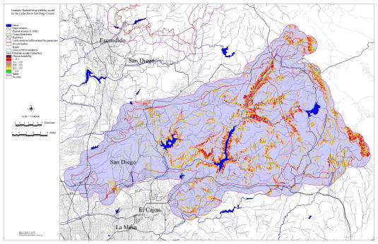
The landslide predictor image here is a very generic run of the SHALSTAB program, developed by Bill Deitrich and Dave Montgomery of UC Berkeley, with 30m contour data. It is buffered one mile beyond the fire perimeter to include most of the fire affected watershed. Spatial analysis with respect to fire severity mapping and existing slides as seen from orthophotos can be added. We could do a micro-scale analysis by flying a two foot contour interval in the priority areas for sediment control installations. It could be used to optimize design and distribution of in-stream sediment control structures. We could refine it on the fly with mobile GIS to support for all the remediation teams.
Click on the map to see the larger version

