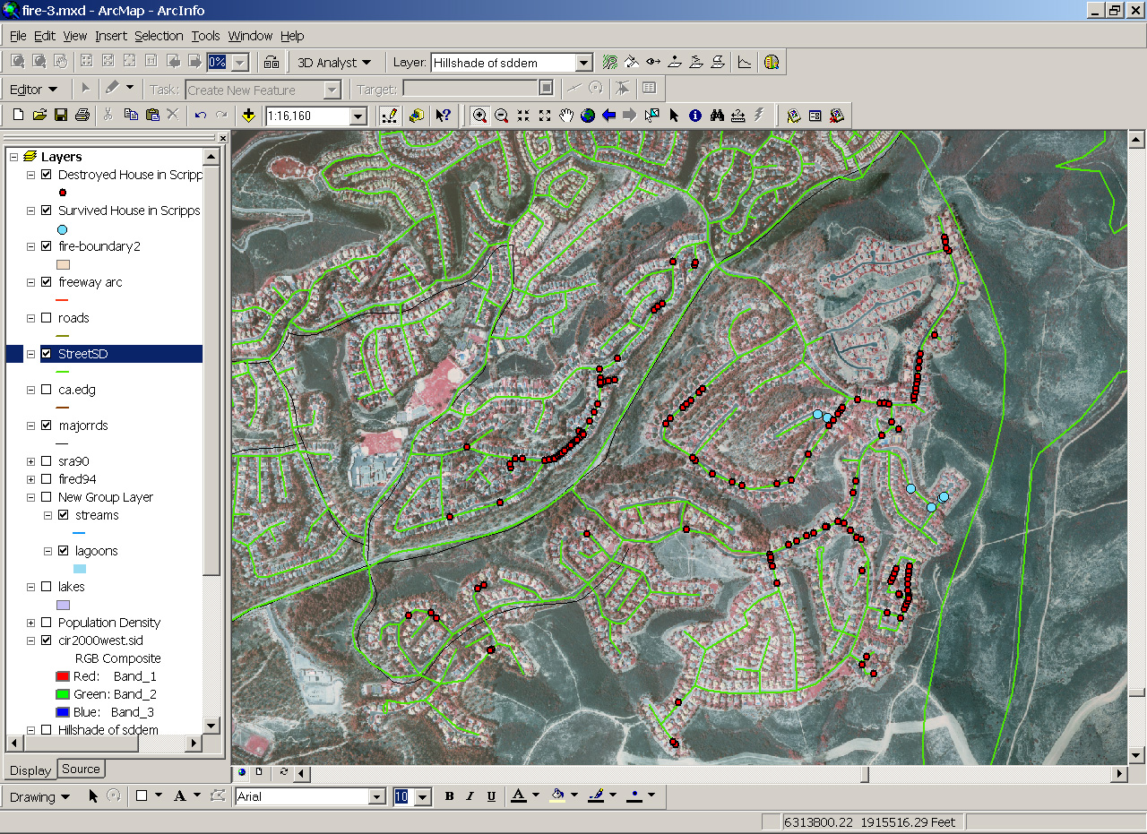
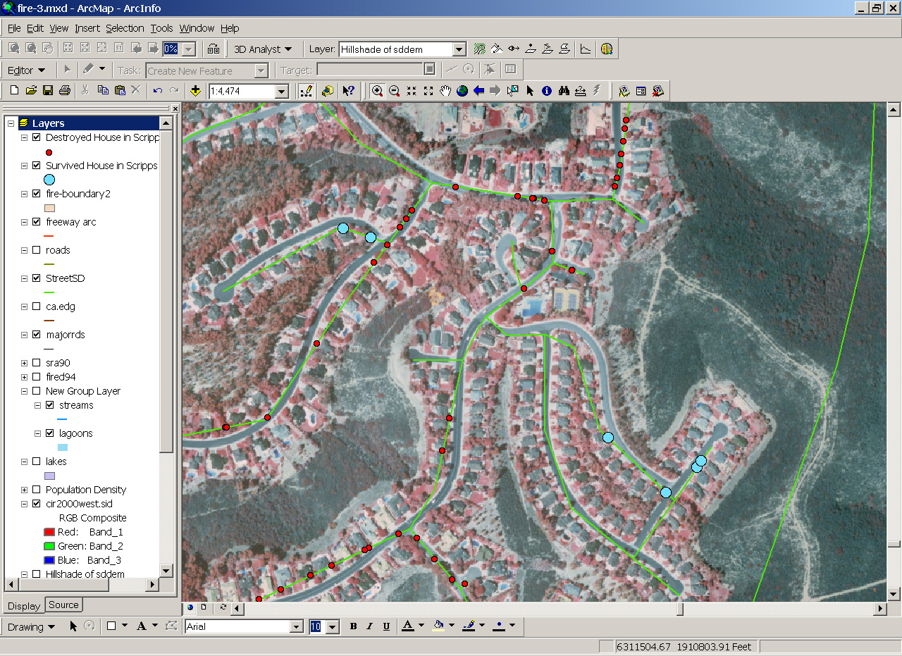
The following map is created based on the list of the destroyed homes in the Scripps Ranch Area. The data source is the Scripps Ranch Civic Association (Oct. 28, 10:23am). The original home addresses have been converted to points on the map and overlayed with remote sensing images. NOTICE: this is not a complete data set. Not all addresses have been entered into the GIS database. Only 158 records (about 70% of total records) have been geocoded successfully.
The RED dots indicate the destroyed homes and the BLUE dots indicate the unburned homes.