TEACHING
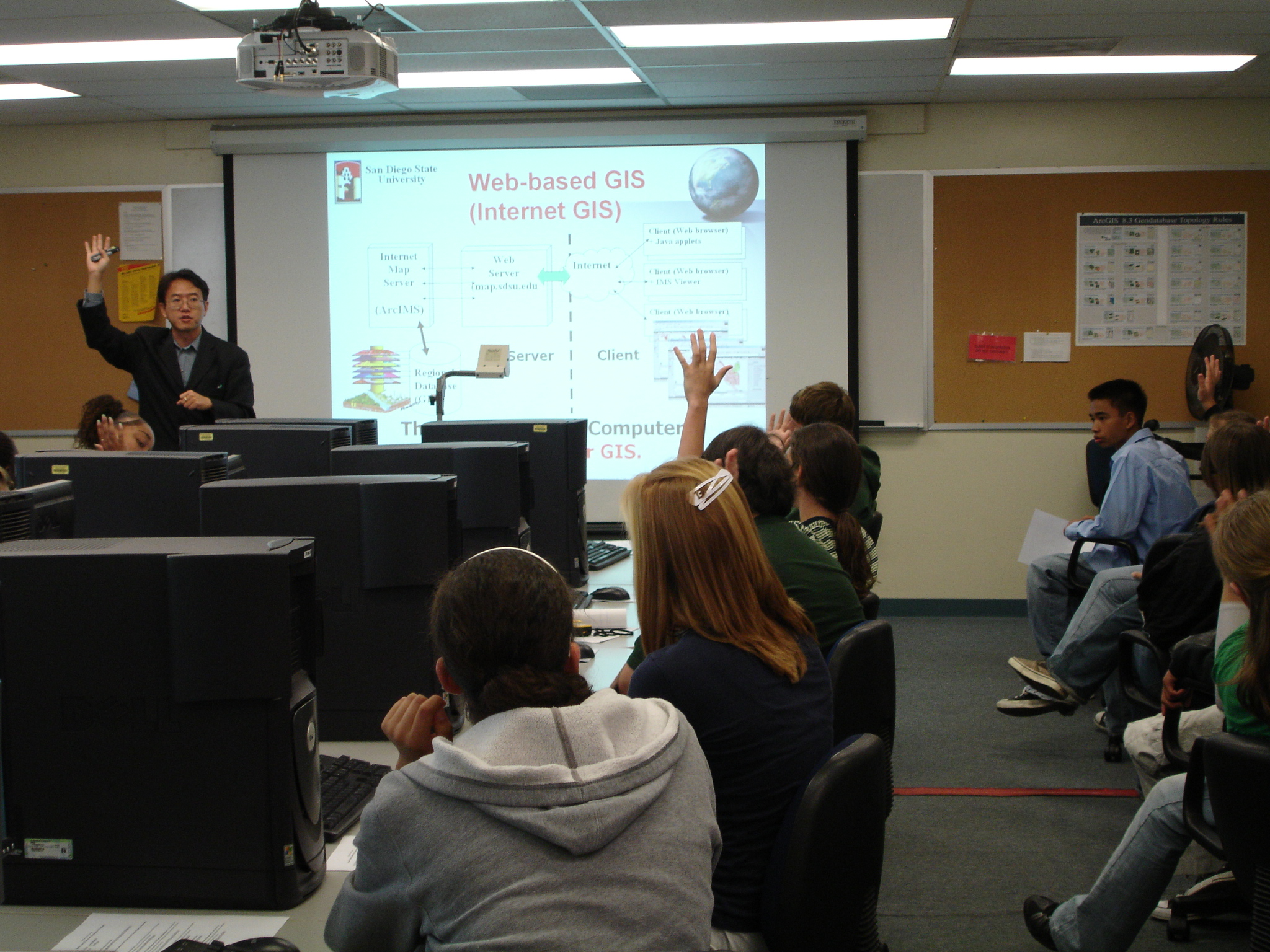
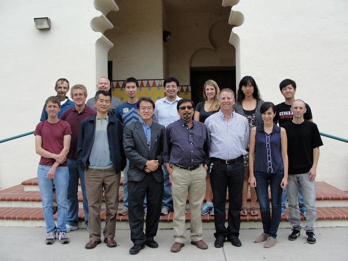
Teaching GIS in the classroom and the community by Dr. Tsou and his graduate students
Teaching Innovations
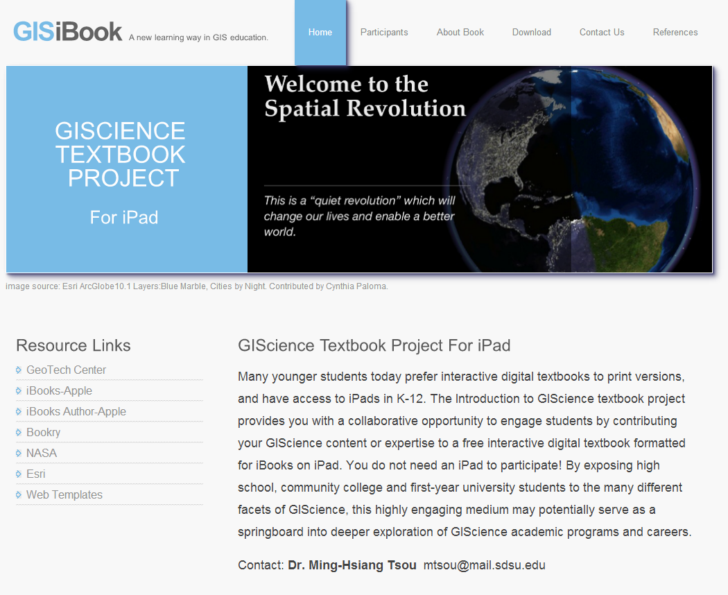
- The GIS iBook development: the "Introduction to GIScience" Collaborative Textbook Project for iPad devices. Editors: Ming-Hsiang Tsou, Cynthia Paloma (graduate student), and Yi-ting Chuang (graduate student): http://mappingideas.sdsu.edu/ibook/
- GIS Career and Education Awareness website and online learning modules: http://geoinfo.sdsu.edu/hightech/
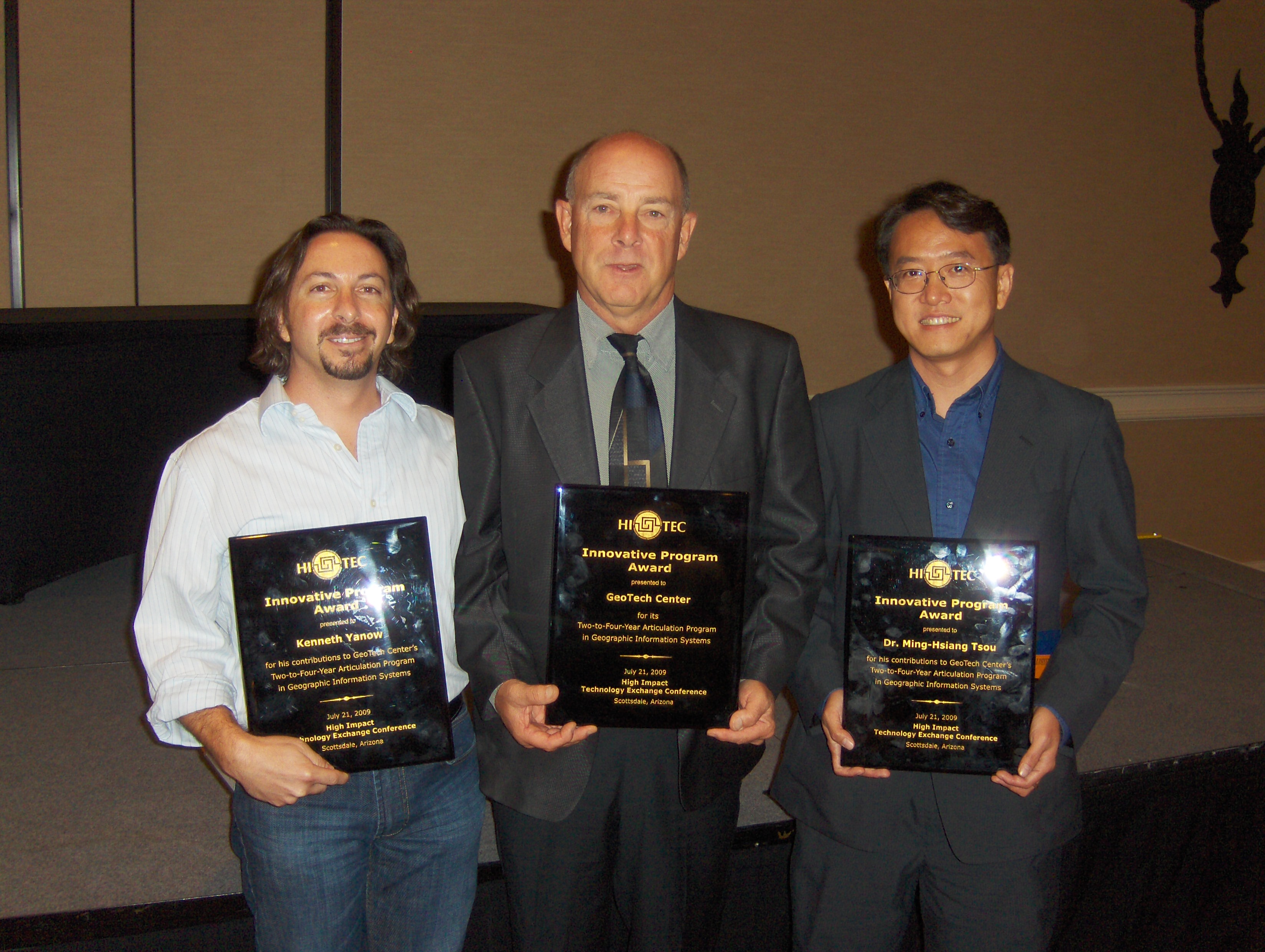
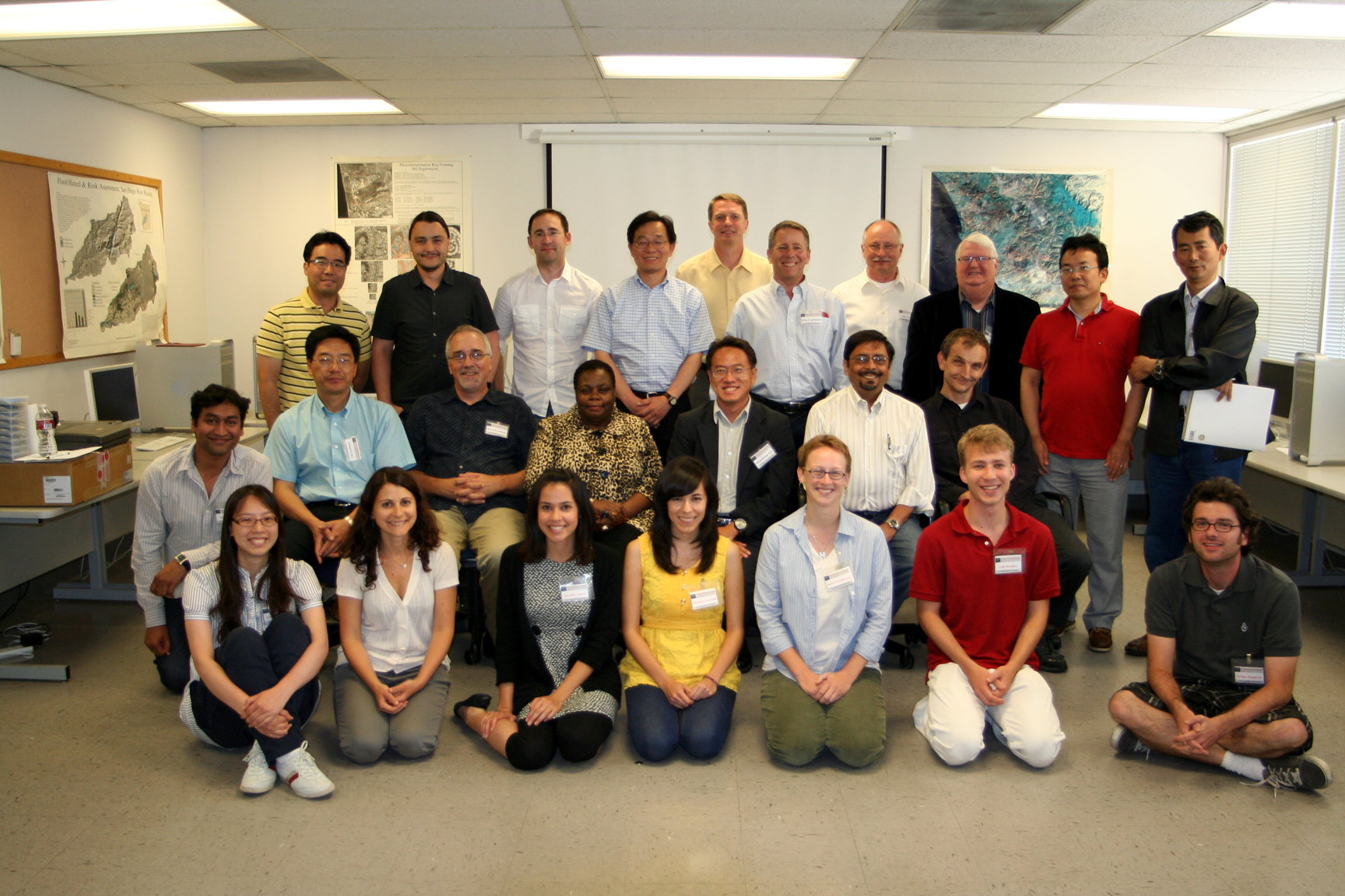
- Geospatial Technology Summer Workshops for community college teachers and high school teachers (2009 – 2013): http://geoinfo.sdsu.edu/hightech/GISWorkshop2012.htm
- GIS Class Web Sites (San Diego State University): (including lecture notes, on-line forum, and web-based exercises).
- GEOG 104 (Geographic Information Science and Spatial Reasoning):
http://map.sdsu.edu/geog104 - GEOG 381 (Computerized Map Design):
http://map.sdsu.edu/geog381 - GEOG 484 (Introduction to Geographic Information Systems):
http://map.sdsu.edu/geog484 - GEOG 583 (Internet Mapping and Distributed GIServices):
http://map.sdsu.edu/geog583/ - GEOG 581 (Cartographic Design): http://map.sdsu.edu/geog581/
- Wireless Mobile GIS: GEOG 789 Seminar (Spring 2010 Seminar):
http://map.sdsu.edu/GEOG780-mobileGIS-syllabus2010-final.pdf - Web Mapping and Social Media: GEOG 780 Seminar:
http://map.sdsu.edu/GEOG780-2015-Web-Mapping-and-Social-Media.pdf
- GEOG 104 (Geographic Information Science and Spatial Reasoning):
- Social Networking Media (Facebook) for Teaching Aids: a Facebook Page for the introduction of Geospatial Technology. (http://www.facebook.com/pages/Geospatial-Technology-at-SDSU-GEOG104-GEOG381-GEOG583/129010146571?ref=mf).
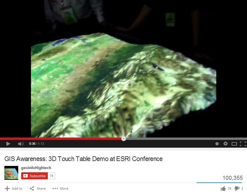
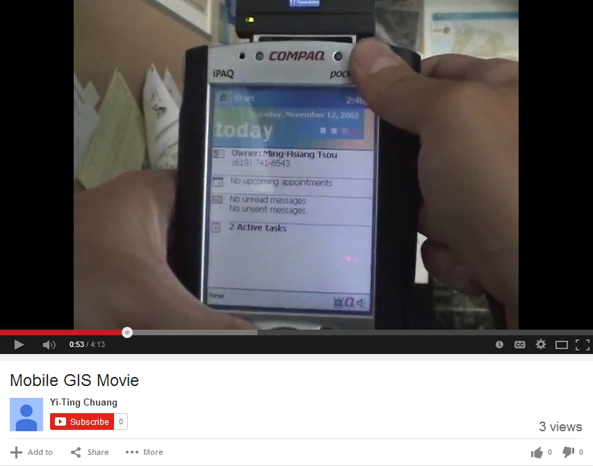
- YouTube Channel for Geospatial Technology: http://geoinfo.sdsu.edu/hightech/GISVideos.htm
Movies
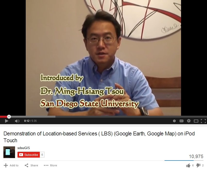
Professor Tsou demonstrates the utility and ease of using a geographic information system (GIS)and location-based services (LBS) on a hand-held device (iPod Touch). The affordability and accessibility of this new type of GIS represent a shift from previous types of GIS which required expensive software and training to use.


