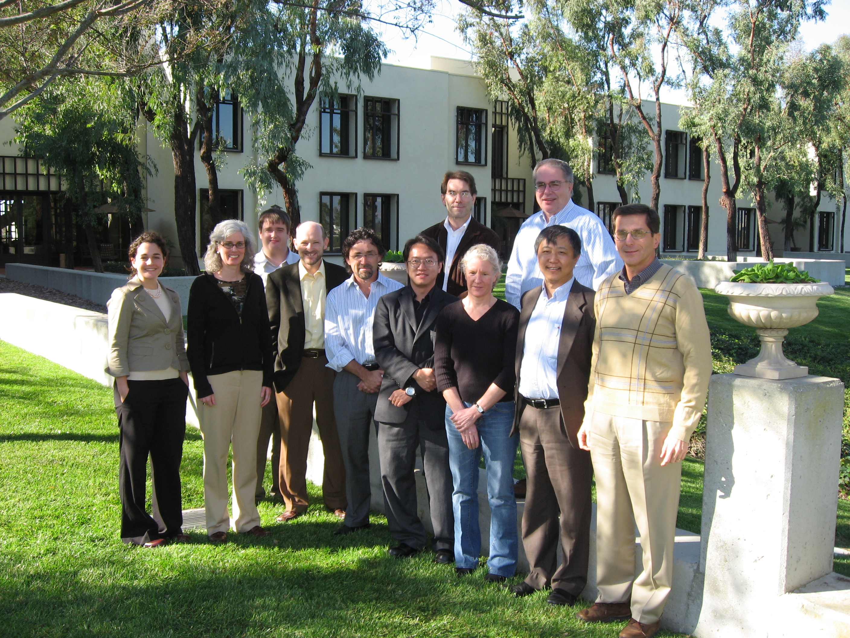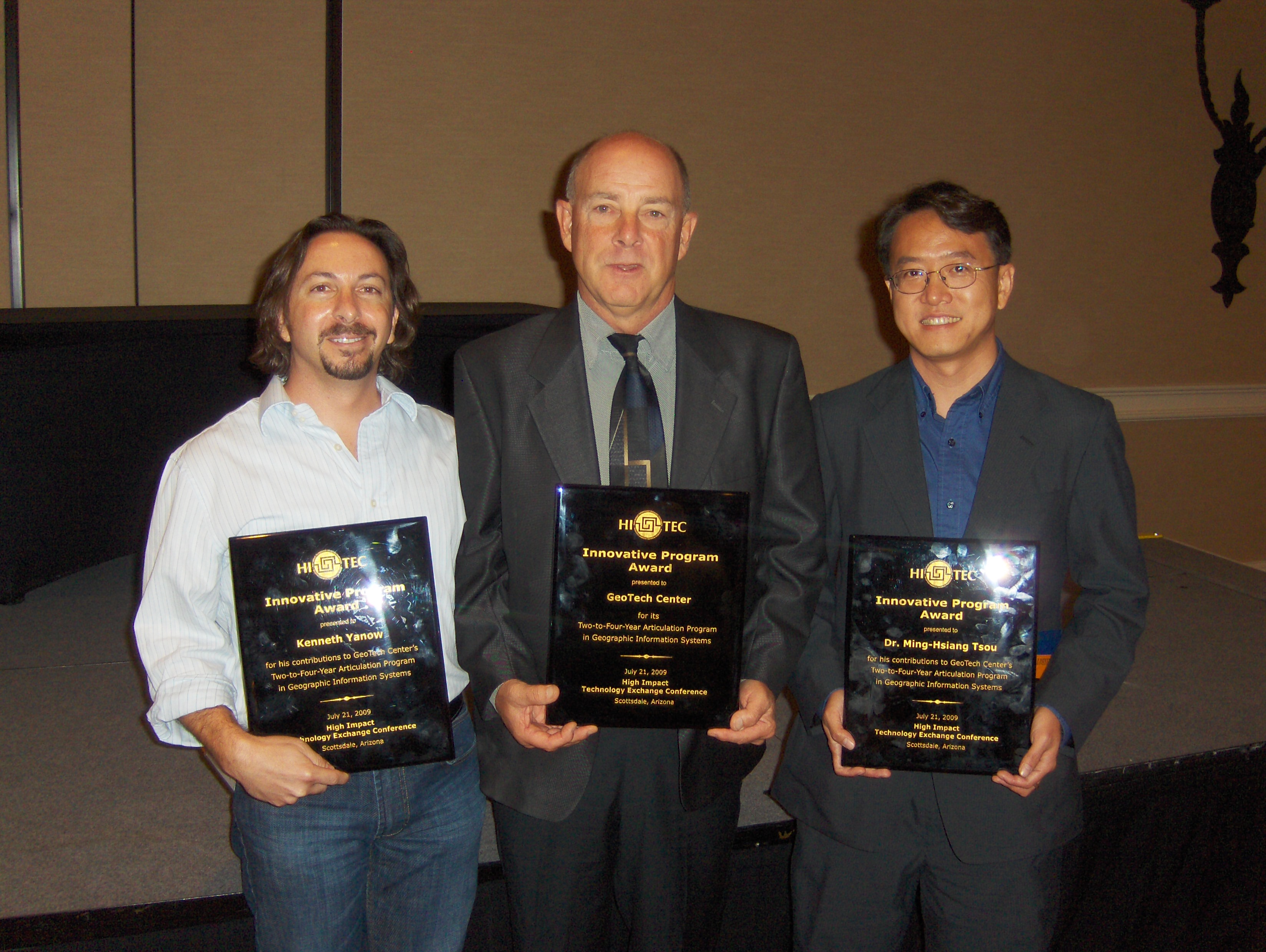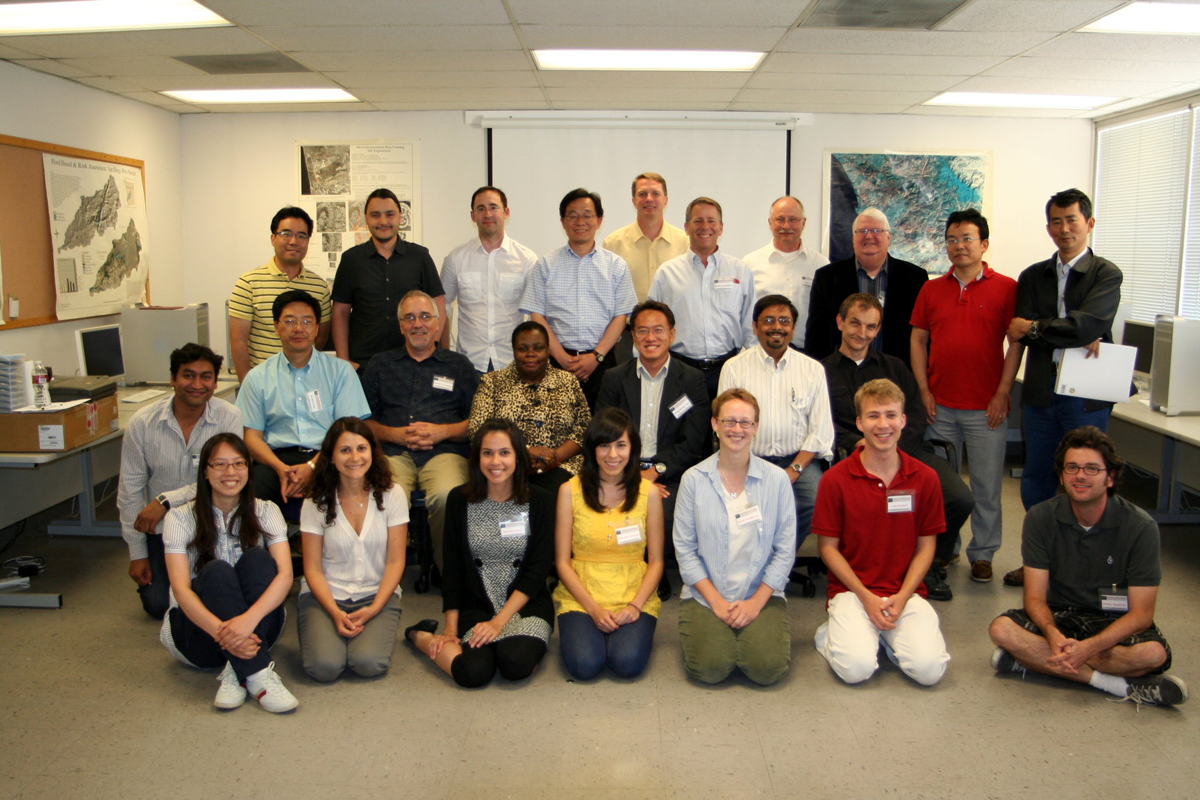


RESEARCH
Ph.D. Dissertation
Dissertation Title: A Dynamic Architecture for Distributing Geographic Information Services on the Internet. (2001, University of Colorado at Boulder)
Presentations
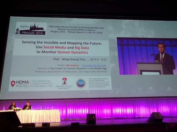
Dr. Tsou's presentation: Keynote Speech at the XXIII International Society for Photogrammetry and Remote Sensing (ISPRS) Congress, Prague, July 18, 2016.
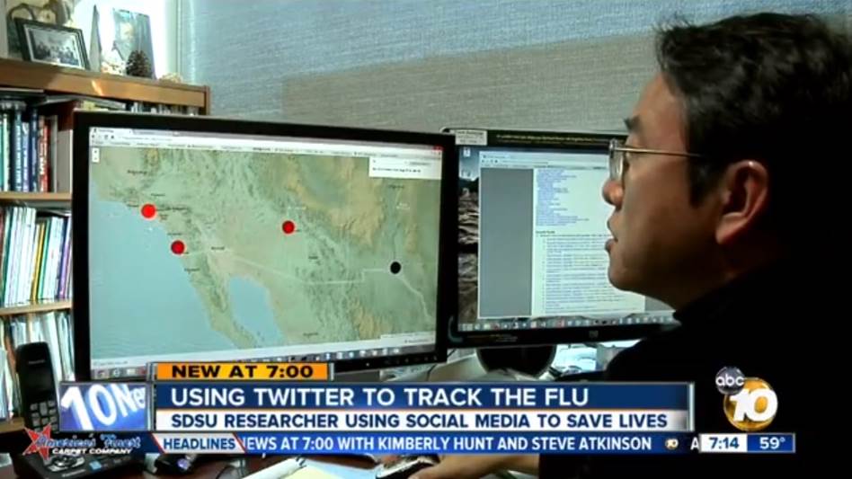
Dr. Tsou's presentation: Twitter & Social Media in Public Health. (2015 NIH meeting)
Research Website
- HDMA Center
- NSF-IBSS: Social Media
- NSF-CDI: Mapping Ideas
- Mapping for Older Adult Services in SD
- San Diego Wildfire Interactive Web Mapping (2003, 2007, 2014)
- GIS iBook on iPads
- Geospatial Education Program Finder
- GIS Career and Education Awareness
- GEOINFO Gateway
- WHEO: An open web mapping project
Current Research Focus
- “Spatiotemporal Modeling of Human Dynamics Across Social Media and Social Networks” is funded by National Science Foundation, Division of Computer and Network Systems, NSF IBSS Award Abstract #1416509 (2014-2019, Funding Amount: $999,887).
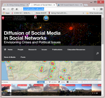
This IBSS large interdisciplinary project will study human dynamics across social media and social networks and focus on the spatiotemporal modeling of information diffusion and the inter-correlation between online activities and real world human behaviors. Two scenarios, public response to disaster warnings and referendum of controversial social topics at state or national level, will be used to validate and improve a new communication theory, Multilevel Model of Meme Diffusion (M3D). M3D is a new framework designed for describing online communication and the diffusion of memes (social media messages) via different social networks. M3D theory was developed by Spitzberg (Co-PI) in 2012 from our current NSF funded project. One key contribution of this project is to build a prototype for the San Diego Office of Emergency Services (OES) social media outreach platform, which may be applicable for other U.S. cities in the future. The design of the prototype is to facilitate rapid dissemination of official alerts and warnings notifications from OES during disaster events via multiple social media channels to targeted population (typically in certain area). The platform can identify and recruit top 1,000 social media volunteers based on their social network influence factors and help government agencies communicate more effectively to the public and be better prepared for both natural disasters and human-made crises. This project will foster the integration of research and education in multiple disciplines, including geography, linguistics, computer science, social science, and communication. The project website will be used to publicize our research findings to the general public and create a discussion forum to involve multidisciplinary researchers. Three summer specialist meetings will be organized to facilitate future multidisciplinary collaborations among researchers in the new research field of human dynamics.
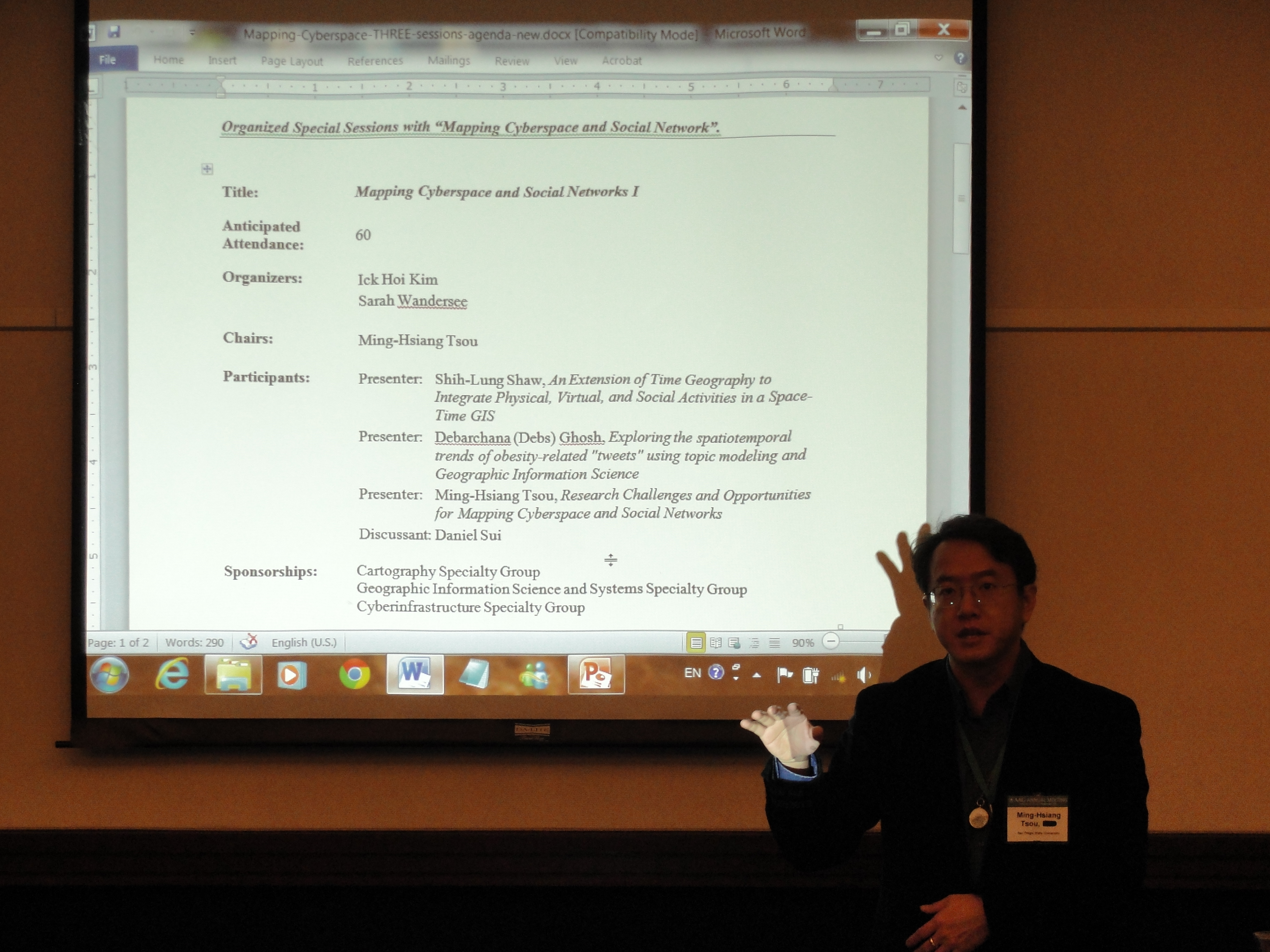
- Mapping Cyberspace to Realspace: Visualizing and Understanding the Spatiotemporal Dynamics of Global Diffusion of Ideas and the Semantic Web. NSF, Division of Computer and Network Systems, NSF Program CDI-Type II. Award # 1028177. 2010 - 2014 + One Year No-Cost Extension (2015), funding: $1.3 millions.
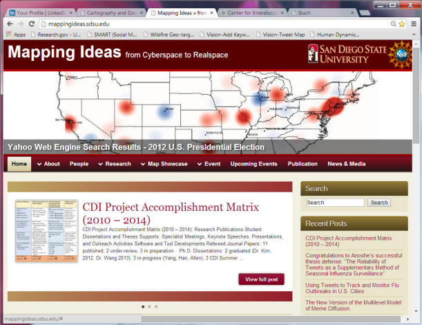
The project integrates geographic information systems (GIS), geographic information science (GIScience), computational linguistics (CL), and semantic web (computer-based ontology) technologies to track and analyze public-accessible websites for progressively more defined clusters of words and phrases that characterize actual and potentially developing networks of social processes. Human and natural crises (e.g., epidemics), and hostile social movements (e.g., militia and hate groups) are examined as illustrative exemplars of the utility of such an integrated system. Website pages and web contents with identified clusters of words or phrases will be mapped (by geo-referencing their web addresses, URL, place names, gazetteers, blogs, etc.) over a world map (using GIS tools) with time stamps. The resulting map will provide a visual "information landscape" consisting of hundreds of website locations (using real world coordinate systems) containing related keywords or similar ideas. When integrated with time-series analyses, this map will allow examination of the paths and speed of information dissemination, as well as the evolving varieties of various ideas and their relationships. By creating a Semantic Web Automatic Reasoning and Mapping System (SWARMS) prototype, researchers can visualize the spread of concepts, ideas and news over time and space. Clusters of keywords and phrases will be identified and classified, and references to key ideas, provocative events, and important text sources will be collected. This innovative methodology could be applied in multiple languages and other applications, such as cellular phone text messages and social network messages (such as twitter messages).Download a THREE-page introduction.
- GIS Mapping for Older Adult Services in San Diego
http://mappingideas.sdsu.edu/health/
This project attempts to identify gaps in health care services for the older populations of San Diego County. Through the use of a readily available, interactive Geographic Information System (GIS), healthcare agencies will be able to better understand the demographic of current and potential clients, identify which areas lack vital services, collaborate with other service providers, and develop strategies to reach out to underserved populations.
- The Connectory GIS improvement project.
http://geoinfo.sdsu.edu/connectory/
The Connectory "is an online resource that captures the capabilities and capacities of primary industry and technology companies and their supply chains across the U.S." To improve access to this information, the Connectory has partnered with the Geography department at SDSU for improvements to the current web map interface.
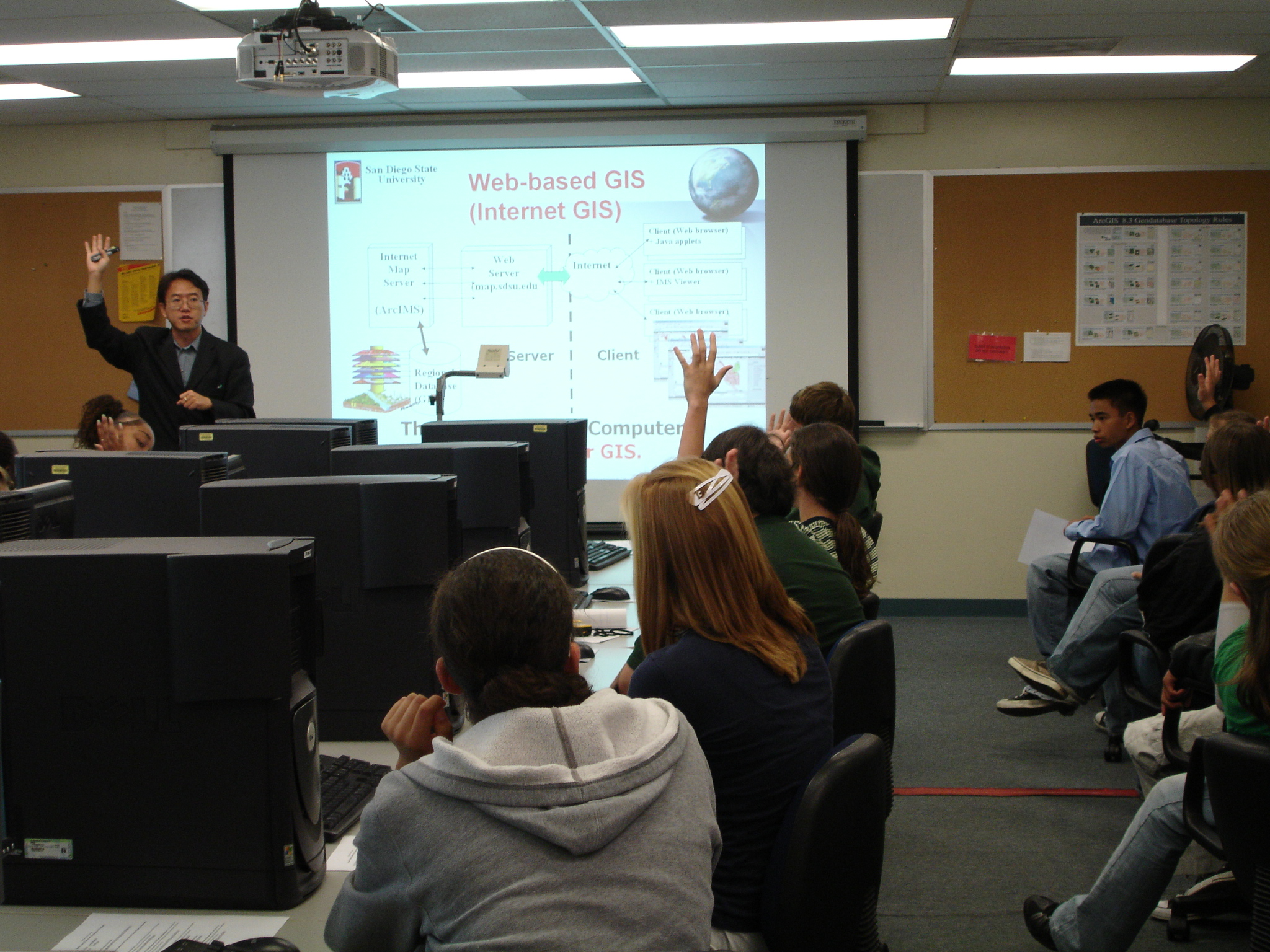
An old version of Internet GIS overview (in 2004), published on the GIS@development magazine.
- Tsou, 2004, Present Reality and the Future of Internet GIS. at GIS@development, Vol. 8(7), pp. 29-32.
http://www.gisdevelopment.net/magazine/years/2004/july/29.asp (Alternative download here)
- Tsou, 2005. Recent Development of Internet GIS at GIS@development: http://www.gisdevelopment.net/technology/gis/techgis_002pf.htm
http://www.gisdevelopment.net/magazine/years/2005/oct/webgis_tsou44_1.htm
An old version of the explanation of cyberspace?
- Here is my first paper about the cyberspace and geography (1995). (a very old paper written when I was a graduate student at SUNY-Buffalo. But it is a very interesting paper for me).
This is one of my favorite stories: "A year here and he still dreamed of cyberspace, hope fading nightly. All the speed he took, all the turns he'd taken and the corners he'd cut in Night City, and still he'd see the matrix in his sleep, bright lattices of logic unfolding across that colorless void".... by William Gibson, Neuromancer, 1984.