GEO 583 Internet Mapping and Distributed GIServices
![]()
![]()
![]()
Unit 13 (Session One):
Group Project Progress Report:
Group 1: The SD Camping Guide
Team members: Jesus A. Tamayo, Caleb Bombaci, Richard Caslow.
Group 2: Pups Who Brunch - San Diego
Team member: Melanie Lopez (Coordinator), Haihong Huang, Fali Field
Cyberinfrastructure and Virtual Organizations
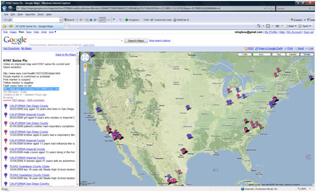
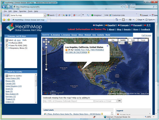
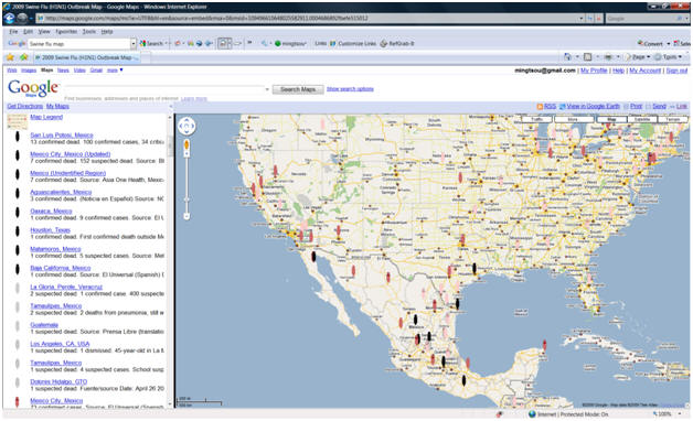
HealthMap Mobile Apps: Movie:
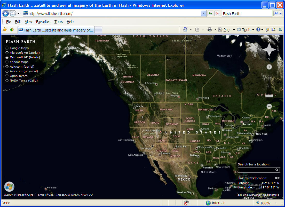
Multimedia Web Mapping Examples:
(Dr. Mark Harrower, was at University of Wisconsin at Madison)
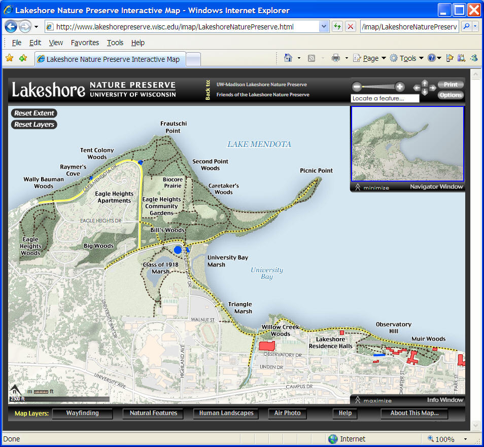
Lakeshore Nature Preserve Interactive Map
http://www.lakeshorepreserve.wisc.edu/imap/LakeshoreNaturePreserve.html
![]()
Advanced GIServices
![]()
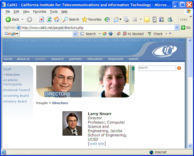
Dr. Larry Smarr, Director, CAL (IT)2 http://www.calit2.net/
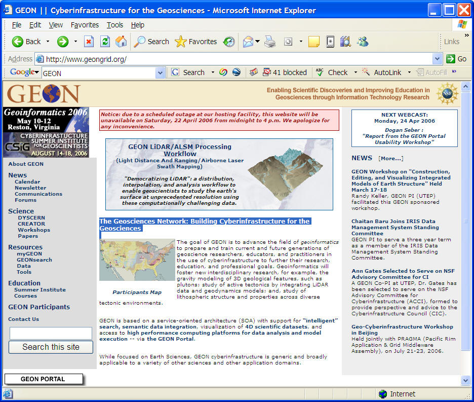
The Geosciences Network: Building Cyberinfrastructure for the Geosciences
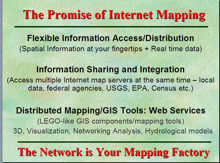
New Direction in Internet GIS:
The Cyberinfrastructure for the GIS community?
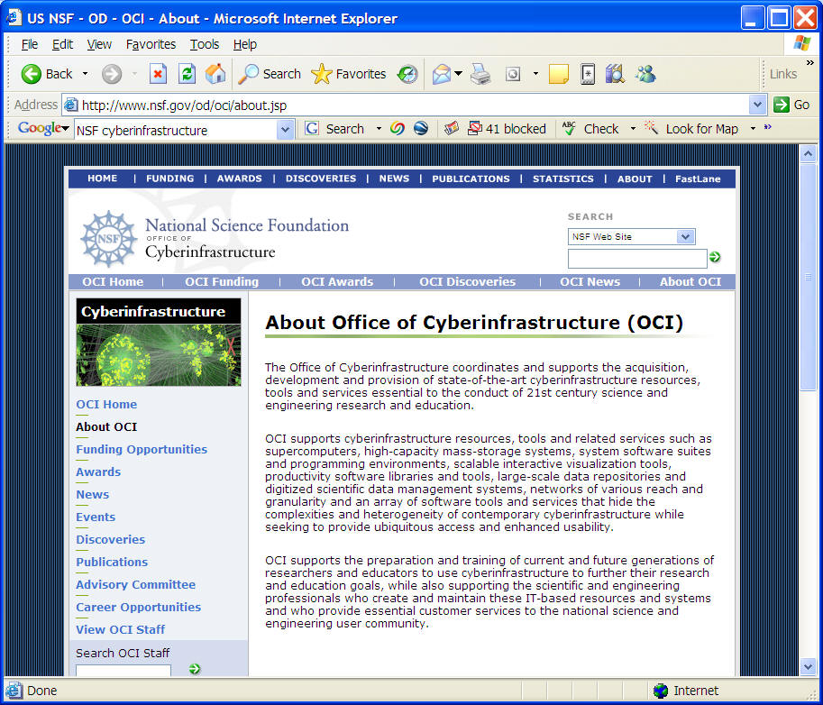
http://www.nsf.gov/dir/index.jsp?org=OCI
Geospatial Cyberinfrastructure
Establishing a geospatial cyberinfrastructure is essential for the future development of geospatial information systems and services. Geospatial cyberinfrastructure will foster seamless integration of heterogeneous geospatial information, web-based mapping and geo-analytical services across the Internet. This paper will first discuss the significance of geospatial cyberinfrastructure for the GIS community and highlight several underpinning techniques of geospatial cyberinfrastructure, including Grid computing, Web Services, OGC (Open Geospatial Consortium) interoperability standards and Semantic Web. Emphasis is given to the discussion of developing intelligent and analytical geospatial information services in the geospatial cyberinfrastructure. An analytical problem solving multi-tier architecture is proposed as a theoretical foundation for the geospatial cyberinfrastructure. Part of the architecture is demonstrated by a simplified prototype which is used to test the feasibility of the proposed multi-tier geospatial cyberinfrastructure. (Zhang and Tsou, 2006, Geoinformatics 2006 conference).
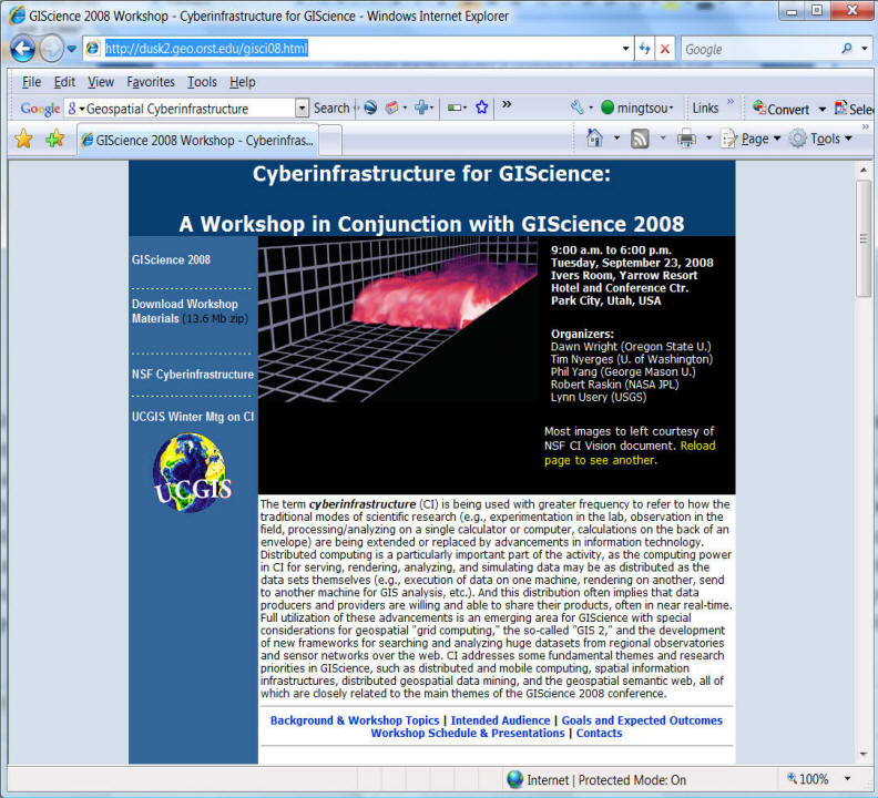
http://dusk2.geo.orst.edu/gisci08.html
Link to their Positional Papers:
http://dusk2.geo.orst.edu/CI_Workshop_Materials.zip
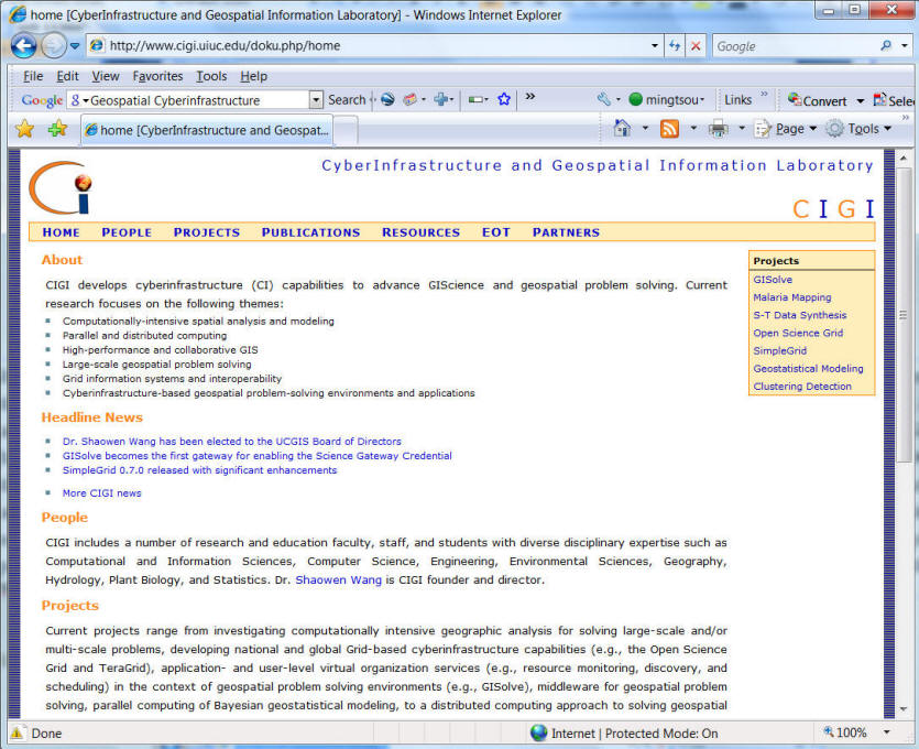
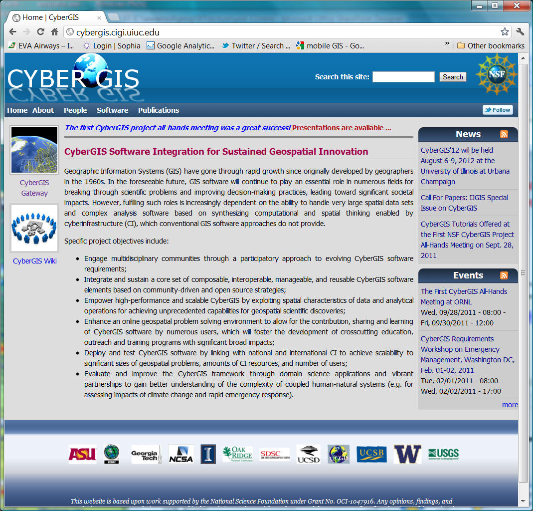
CyberInfrastructure and Geospatial Information Laboratory at NCSA,
University of Illinois at Urbana-Champaign.
http://www.cigi.uiuc.edu/doku.php/home
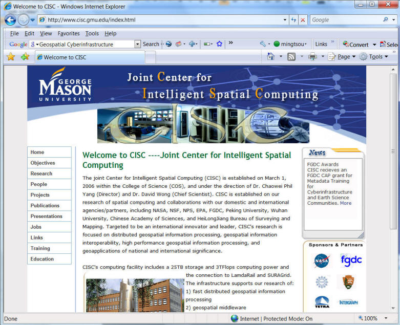
http://www.cisc.gmu.edu/index.html
Virtual Organization
CyberGIS project: http://cybergis.cigi.uiuc.edu/
Big Data Initiative: http://www.whitehouse.gov/blog/2012/03/29/big-data-big-deal

![]()
Intelligent GIServices: Software Agents
What are "Software Agents"?
Autonomous agents are computational systems that inhabit some complex
dynamic environment, sense and act autonomously in this environment, and by
doing so realize a set of goals or tasks for which they are designed."
Discussions:
Human Agents (Travel agents, stock brokers) vs. Software Agents
Intelligent Software Agents vs. Dummy Software Agents
The Roles of Software Agents:
Recently, intelligent software agents have become a new trend in both user interface design and artificial intelligence (AI) research. The goal of software agents is to reduce user work and information overload (Maes, 1994). Intelligent agents can provide services in data filtering, information searching, on-line tutoring, and so on. Current research suggests that intelligent agents will be widely used and implemented in the future, especially in open, distributed systems (Thomas and Fischer, 1997). Dozens of intelligent agent applications have been proposed and are under development now (Knapik and Johnson, 1998). Within a traditional GIS environment, users only deal with one centralized system which has its own data model and command syntax. In distributed GIS environments, on the other hand, users may need to interact with heterogeneous data models and different command syntax in different GIS software. This situation is getting worse due to the complicated nature of general GIS tasks. Intelligent software agents can help users to access distributed data and modularized components on multiple GIS platforms. Two fundamental roles of an intelligent software agent are essential to distributed network environments: information filter and information interpreter.
The first role, an information filter, helps users limit their choices to a reasonable scope according to the task. The interaction process between intelligent agents and users is similar to the relationship between car dealers and car buyers. When a buyer tells the car dealer what kind of car they prefer and what price they can afford (task specification), the car dealer will filter and simplify the information for all available cars. The car dealer will in theory only provide a reasonable range of choices to the buyer. Similarly, the intelligent agent will filter out unnecessary information and provide a reasonable number of choices. Moreover, the intelligent agent can play a more active role than a simple information filter. If the task can not be fully satisfied (for example, the car dealer can not find exactly the car which meets the buyer's requests), the intelligent agent may suggest modifying requests and tasks, or provide an alternative choice to users. Figure 6 shows the information filter function of an intelligent agent.
The second role of an intelligent agent is to act as information interpreter. In distributed network environments, heterogeneous data models and systems can not communicate directly. An information interpreter can access and convey information from one side to the other. In order to translate the information correctly, this agent has to acquire some knowledge and methods in translation procedures. The knowledge and methods can be defined and encapsulated in object-based components. The encapsulation provides metadata information for the intelligent agent to interpret the information correctly. With the help from the intelligent agent, metadata no longer needs a standardized format. The following figures shows the information interpreter function of an intelligent agent.
To Download the PPT of Software Agent HERE
Related Link:
|
|
Software Agents, what are they ? http://www.geocities.com/ResearchTriangle/Thinktank/4633/Agents_definition.html |
|
|
Intelligent Software Agents: Definitions and Applications http://alumni.caltech.edu/~croft/research/agent/definition |
|
|
Stan Franklin and Art Graesser, Institute for Intelligent
Systems, University of Memphis |
User Testing (Extra 2 Points).
The URL for the online survey is
http://geoinfo.sdsu.edu/limesurvey/index.php?sid=62223&lang=en
![]()
![]()
![]()
![]()
![]()