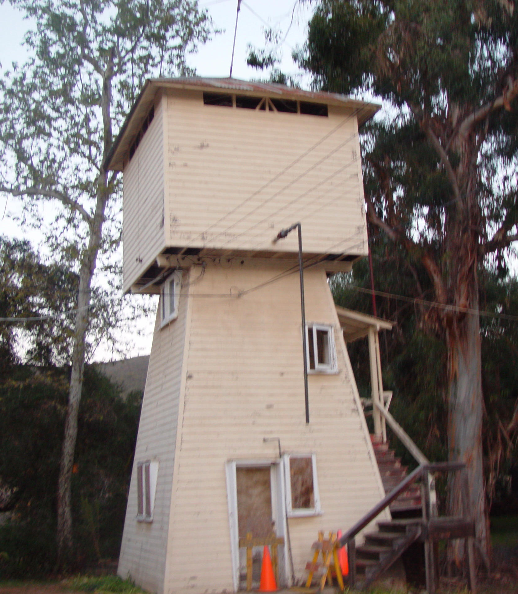
Goodan Ranch, comprised of
the only remaining structures in Sycamore Canyon at present, is located on
the western side of the preserve. The ranch is located on either side of
the dirt road that runs
north-south through Sycamore Canyon. This canyon was named
from the abundance of sycamore trees in the area and
which still exist in the narrow
green valley.
Early Settlement
Maps indicate that the area of Goodan Ranch in
Sycamore Canyon was sparsely settled in San Diego County’s early years. A
survey map of Township 14 South, Range 1 West that dates from 1876
indicates a road through Sycamore Canyon, originating in Paguay Valley
(Poway), leading through present-day Beeler Canyon along nearly the same
route as the road today. The road terminates at the south end of Section
28 in Sycamore Canyon, however, and does not continue south to the San
Diego River in El Cajon Valley. One cabin is indicated in Beeler Canyon at
this time and a structure noted as “Francisco's House” is located at the
same site as present-day Goodan Ranch. A “wood road” leads to the
northeast out of Goodan Ranch area, into the canyon later known as Fischer
Canyon (County of San Diego 1876). This road indicates possible lumber
activity in Sycamore and Fischer Canyons in the 1870s. Another map of San
Diego County in 1889 also indicates “Francisco” in the Goodan Ranch area
and a road through Sycamore Canyon leading from Poway to the El Cajon
Valley (Beasley 1889).
At this writing, the
“Francisco” who settled in Sycamore Canyon in these early years is unknown
except by indication on maps. A Charles F. Francisco settled in the
Lakeside area and had a lumber business in El Cajon Valley in the
1880s-1890s, but there are no legal indications that he owned land in
Sycamore Canyon. It is possible that the “wood road” was used by him to
secure wood for his business and he may have had a house set up in the
canyon, but this is merely speculation. Further research may trace-title
back to the Francisco family. The “Francisco” structure is the only
permanent settlement indicated on the two early maps. Further evidence
that a structure existed at Goodan Ranch in the 1870s is a piece of
newspaper dating from 1872 that was found in the walls of an original
structure being torn down on the ranch in 1938. (The newspaper was saved
and is on display at Goodan Ranch at present.)
Community of Stowe, 1890-1906
In the years before 1900, the
present area of Sycamore Canyon and Beeler Canyon became known as the
community of Stowe. In the 1880s, both El Cajon Valley to the south and
Poway Valley to the northwest of the study area were experiencing a period
of accelerated growth during San Diego’s boom. El Cajon Valley, including
the present areas of Lakeside and Santee, was used exclusively for cattle
grazing until the 1870s, when land was divided up and sold for
agriculture, orchards and vineyards. Poway Valley also became a center
for cattle raising and fruit growing in these years.
With the “no-fence” law of 1874 being enforced, more families settled into
farming, planting orchards and vineyards, and raising grain. Dairying and
bee-keeping were also profitable, and by 1887 there were approximately 800
people in the Poway area. Settlement spread and homesteads were set up in
the smaller inland valleys such as Sycamore Canyon and Beeler Canyon.
Stowe was made up of several
families of German and Prussian origin, including such names as Julius F.
Buehler (Beeler Canyon was later named after him), Frederick Reetzke,
Hermann Soltan, Joseph Fischer, Louise E. Knecht, David Bottroff, and
others. Many of these families gained citizenship in the 1870s-1890s. The
name Stowe, however, is of English origin, and was perhaps used as the
result of an English firm, Baird and Chapin, subdividing parts of Poway
Valley in the 1880s and assigning the subdivisions
English names. No evidence has been found indicating that a family by the
name of Stowe settled or homesteaded in Sycamore Canyon. Other early
settlers in the Stowe area included John Q. Adams, Walter H. Holmes,
Abraham Danielson, M. Joy, R. Bidal, and Bion W. Maefield, the I. Most of
the Stowe settlement was in present-day Beeler Canyon with a few families
in Sycamore Canyon. The small canyon that branches off Sycamore Canyon to
the northeast of Goodan Ranch became known as Fischer canyon after the
Joseph Fischer family who homesteaded there.
Another reason for increased
settlement in Poway Valley and the Stowe area in the
188Os was the suggestion of a proposed railroad line through the
communities. A San Diego Union article of 1884 related that “a
movement was on foot for a railroad to El Cajon, suggested by Thomas J.
Fox of El Cajon, and that eventually a line be extended ascending Sycamore
Canyon to Poway Valley" (Union 7/9/1884). An El Cajon Valley
map of 1886 indicates the proposed railroad leading from El Cajon Valley
through Sycamore Canyon to Poway and north. The railroad, however, never
materialized in Poway, and the closest line to Sycamore Canyon became an
extension of the San Diego Cuyamaca and Eastern Railroad from Lakeside to
Foster (at the southern end of present-day San Vincente Reservoir) in
1889-1890. A wagon road was built by San Diego County through Sycamore
Canyon in 1886.
In September of 1890, Stowe
School District was set up to accommodate the settlers in Sycamore,
Fischer and Beeler Canyons. Still considered a part of Poway, the
taxpayers voted a $400 bond to build the Stowe schoolhouse. The school was
built at the hairpin curve of the road at the north end of Sycamore Canyon
and east end of Beeler Canyon, on the east side of the road (SW 1/4 of NW
1/4 Section 22, Township 14 South, Range 1 West). Olive trees were planted
at the site.
Enrollment at Stowe School
ranged from eleven to seventeen students in its years
of operation. The one-room wooden schoolhouse is described in early
records as 14 feet x 18 feet in size with four windows. No water was
available at the school, and two “water closets” were provided. Teachers
were employed for 6 to 8 month terms with pay approximately $10/month.
Teachers were young, ranging in age from 19 to 23.
By 1897, Stowe School
District had been expanded to encompass 21 sections of land, covering a
large area known today as Beeler Canyon, Sycamore Canyon, West Sycamore
Canyon, the east portion of Camp Elliott, Clark Canyon, Slaughterhouse
Canyon, Foster Canyon, and upper Poway Creek area.
By
October of 1889, Stowe community had its own
post office. The road which led through Sycamore Canyon at this time was
used as a horse and wagon thoroughfare from San Diego to Poway and points
north. The post office was established on the Joseph Fischer homestead to
the northeast of present-day Goodan Ranch. The Fischer homestead was made
up of a main adobe ranch house surrounded by pepper
trees, a prickly pear cactus garden and two wells. The Fischer family
consisted of seven children. In later years, it is possible
that the location of the Post Office shifted from ranch to ranch as a 1903
topographical map shows Stowe as being located downstream in the Goodan
Ranch area then owned by the Holmes family.
The first years of 1900 were
discouraging for the community of Stowe. The railroad never came into
being and a drought caused many of the farmers to abandon their
homesteads. Beeler and Sycamore Canyons were hit harder by the drought
than other areas. As homesteaders moved elsewhere, the Stowe Post Office
was terminated in February of 1905 and the mail went to Poway instead. By
1906, Stowe School had dwindled from a high of 19 students to only 3, and
Stowe School District was subsequently abolished.