|
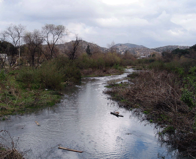
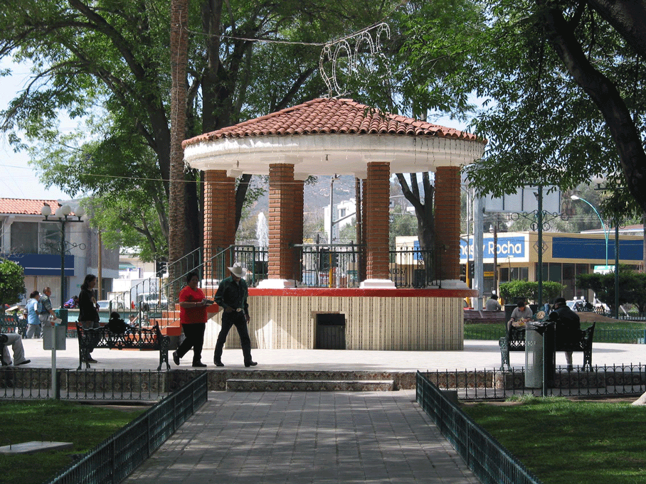
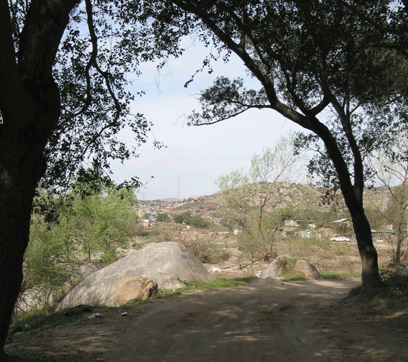
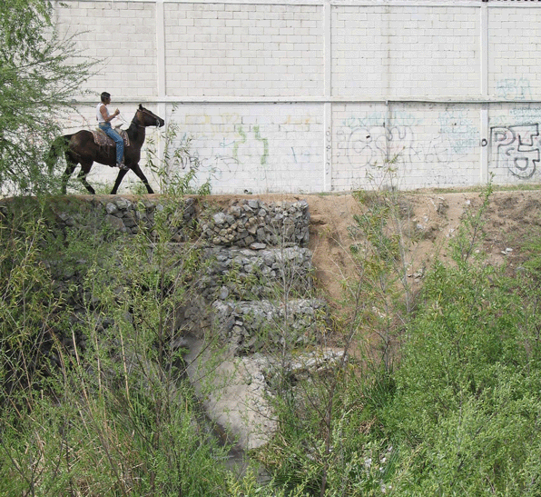
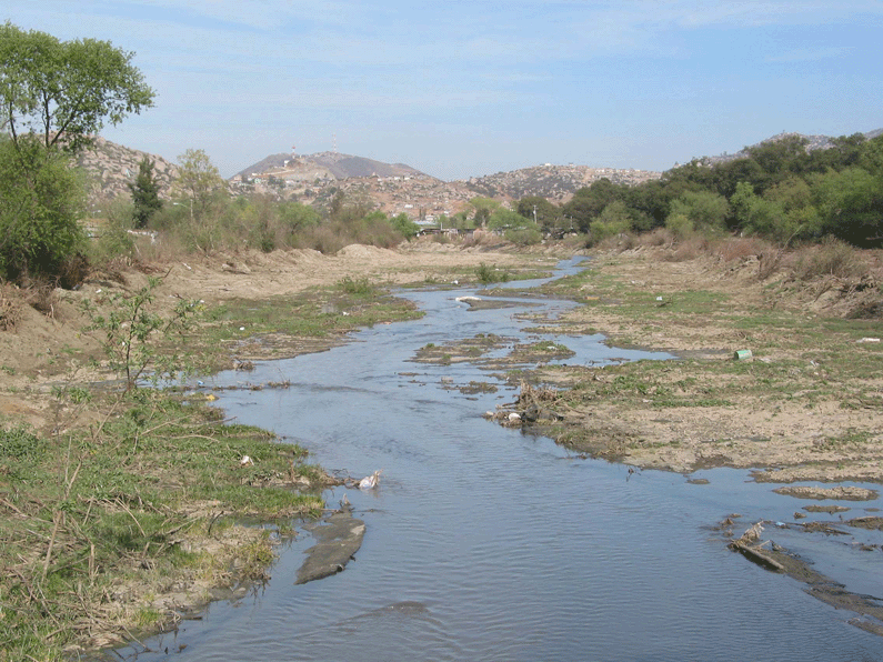
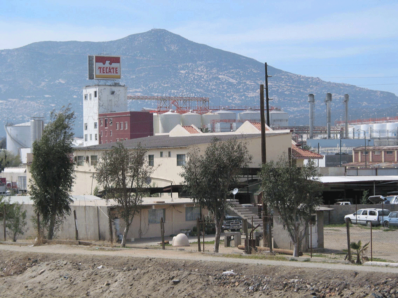
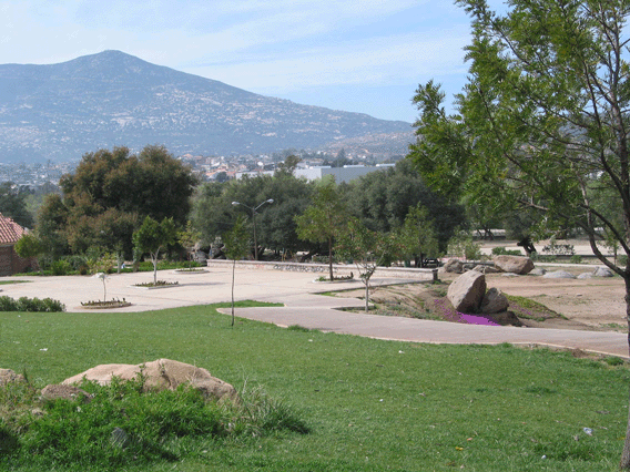
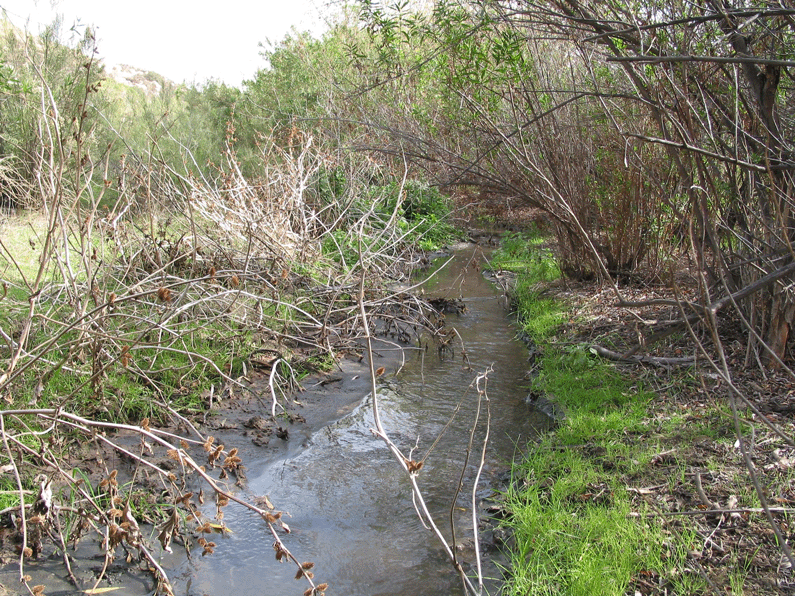
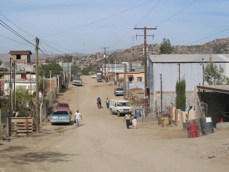
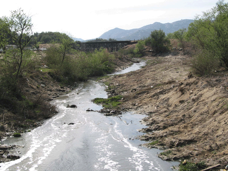
Urban River Planning Tools Using Internet Mapping: A Case Study with the Tecate River GIS tools such as internet mapping can be used by urban planners and the public to ask "what if" questions about alternative land use strategies. This website was developed to provide information and planning tools for a small section of land along the Tecate River (Tecate Creek) in Mexico. The study area is located within the Tijuana River Watershed along the U.S. - Mexico border and is part of a larger proposed urban river project. Other plans call for channelization of the creek to decrease flooding. This website includes interactive maps, static maps and relevant information about the region that you can use to explore alternative land-use options. |
|
Pass mouse over picture for description. Click on picture for larger image. |
