
Multiple Species Conservation Program (MSCP) Habitat Monitoring: Remote Sensing Research at San Diego State University
|
Multiple Species Conservation Program (MSCP) Habitat Monitoring: Remote Sensing Research at San Diego State University |
Project Overview
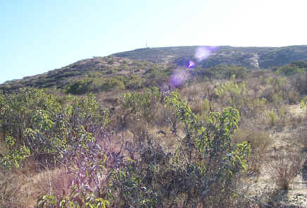 The
quality and extent of wildlife habitat is being reduced by human population
growth, urban expansion, and increased recreational use of natural lands and
reserve areas. Established habitat reserves require habitat monitoring and management guidelines
be developed with
a goal of
maintaining or exceeding current population levels of rare and
endangered plants and animals. The most important aspects of habitat in
San Diego are the
type, structure and condition of the native shrubland vegetation. Conventional
ground-level monitoring methods are not capable of assessing vegetation properties
for all areas within the habitat reserve system. Therefore the primary objective of this
NASA funded project is to develop and implement remote sensing technologies
which enable complete coverage and repetitive observations of habitat conditions for
the entire NCCP system. Commercial satellite imagery captured as frequently as
every year will provide detailed coverage of entire reserve systems (100 to 1000
square miles in extent). Subsequent imaging from aircraft sensors will enable
more detailed assessment of “hot spots” of change as determined from the satellite-based observations.
Wildlife agencies will benefit from the regional
monitoring information and local governments and private landholders will be
able to develop better management tactics for individual habitat reserves from detailed information on the quality of
habitat and the location and magnitude of disturbance effects.
The
quality and extent of wildlife habitat is being reduced by human population
growth, urban expansion, and increased recreational use of natural lands and
reserve areas. Established habitat reserves require habitat monitoring and management guidelines
be developed with
a goal of
maintaining or exceeding current population levels of rare and
endangered plants and animals. The most important aspects of habitat in
San Diego are the
type, structure and condition of the native shrubland vegetation. Conventional
ground-level monitoring methods are not capable of assessing vegetation properties
for all areas within the habitat reserve system. Therefore the primary objective of this
NASA funded project is to develop and implement remote sensing technologies
which enable complete coverage and repetitive observations of habitat conditions for
the entire NCCP system. Commercial satellite imagery captured as frequently as
every year will provide detailed coverage of entire reserve systems (100 to 1000
square miles in extent). Subsequent imaging from aircraft sensors will enable
more detailed assessment of “hot spots” of change as determined from the satellite-based observations.
Wildlife agencies will benefit from the regional
monitoring information and local governments and private landholders will be
able to develop better management tactics for individual habitat reserves from detailed information on the quality of
habitat and the location and magnitude of disturbance effects.