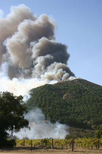
I shot this from just below the Valley View casino off Lake Wholford Road of the Paradise fire while it was still burning. It is 8 images stitched together and the entire field of view is burned. I live in Pauma Valley and my home was spared, although the fire came within a kilometer of it. --Jim
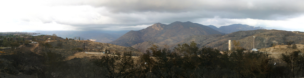
(Click image to enlarge)
Sunday morning from our bedroom - 2:30am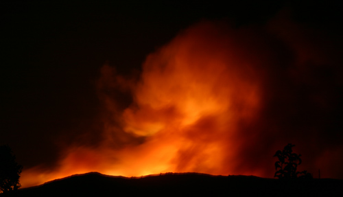
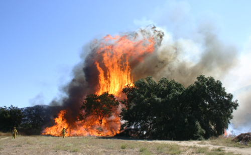
Going strong in the river bottom - 10:00am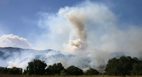
Checking in on Don across
the street - 10:30am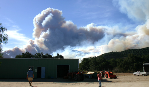
First air support - 11:18am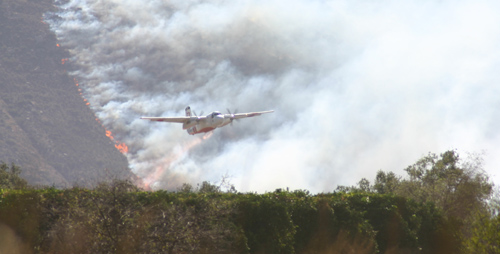
Don in his yard - 12:30pm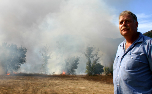
![]()
Other Images
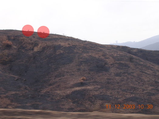
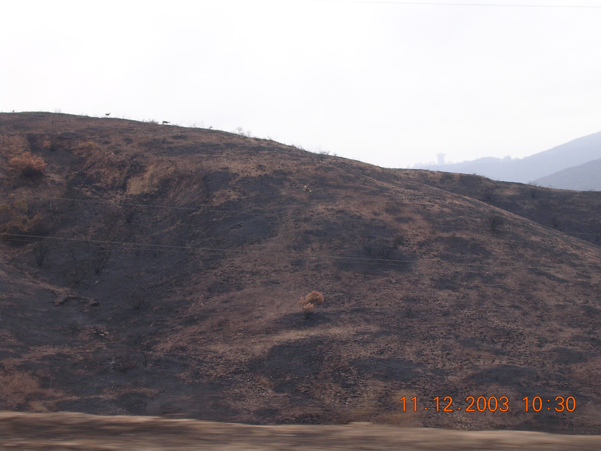
Animals survived after the fires. The following photo was
taken on November 12, 2003
(two weeks after the wildfires). The picture shows two mid-size animals standing
on the top
of the mountain (the red circle) near Highway 15.
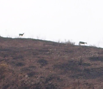
Click here to see the original image
This is the zoomed-in photo.
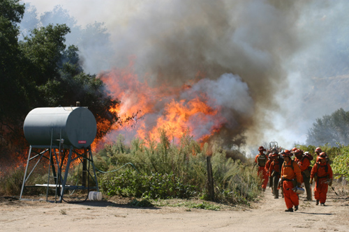
Airborne firefighting (Lake Morena, Campo, 2004)
UH-1H Super Huey helicopter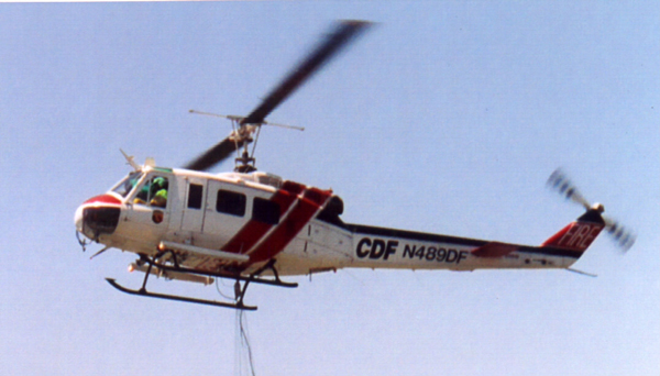
Sikorsky S-64 Skycrane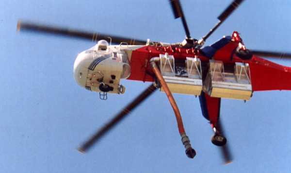
