Home | Research | Static Maps | Interactive Maps | GIS | Mobile GIS | About | Links
Last Updated: November 14, 2005
Any media or
persons are welcome to reproduce or redistribute these maps and information
by acknowledging the map producers and the
Department of Geography, San Diego State University.


Potential Landslide Analysis map created by San Diego State University Students.
>>Continue
3D Fire Spread Animation Movies created by Harry D. Johnson, Department of
Geography, SDSU. Requires Quicktime 6.5 or later version.
>>Continue
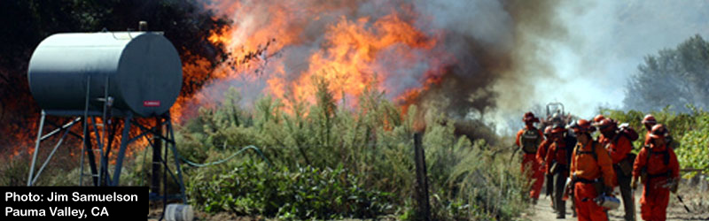
During the week of October 26, 2003 two wildfires (Cedar and Paradise) savaged San Diego County. The wildfires killed 16 people and burned down 2427 homes and businesses (source: www.signonsandiego.com). These fires caused the worst damage in the history of San Diego and California. This web site was created immediately on October 27 to provide web mapping services for helping our local community. This site is updated daily and provides maps of the San Diego wildfires with various live ArcIMS web mapping services, static maps, and research articles. Most maps on this site have been created by the faculty, staff, and students in the Department of Geography, San Diego State University.