
|
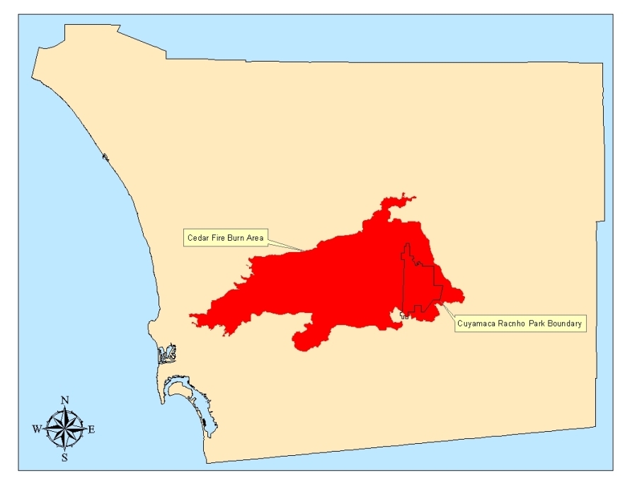
The Cedar wildfire of October 2003 consumed 24,614 acres of Cuyamaca Rancho State Park. It is estimated that 90% of the homes and cabins in the community of Cuyamaca were burned. Only 400 acres survived untouched by the flames. The park has be closed while the damage has been assessed and soil erosion control methods were put in place. The park will reopen Saturday May 1, 2004. |
|
This map displays the location of Cuyamaca Rancho State Park within the Cedar Fire perimeter and San Diego County. Click the image for a larger view. |
|
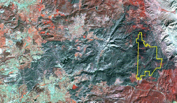
This is a satellite image of the Cedar fire burn area. The yellow outline represents the park boundary. |
|
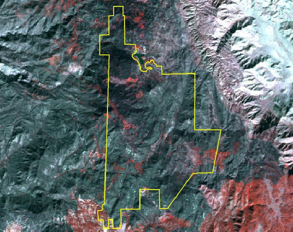
Here is a closer view of the park boundary draped over the satellite image. The red areas represent unburned vegetation. |
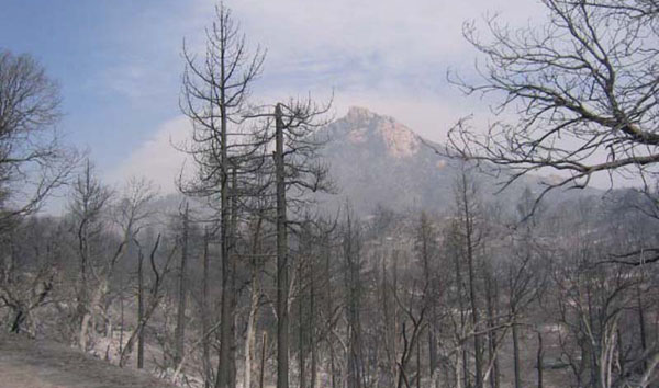
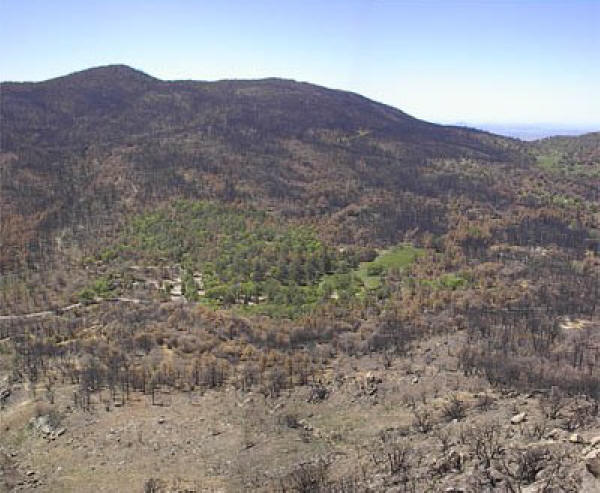
This is a picture of Stonewall Peak days after the fire.
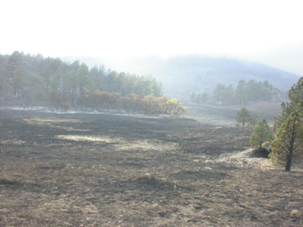
This is a picture of Green Valley days after the fire.
Park Headquarters miraculously survives!!!
![]()