


Ming-Hsiang Tsou
Professor, Department of Geography, San Diego State University.
Founding Director, the Center for Human Dynamics in the Mobile Age (HDMA).
Program Director, Big Data Analytics Program (Master of Science), San Diego State University.
Mailing Address: Geography Department, San Diego State University, 5500 Campanile Drive, San Diego, CA 92182-4493
Telephone: (619)594-0205, Fax: (619)594-4938
Email: mtsou@sdsu.edu
BIOGRAPHY
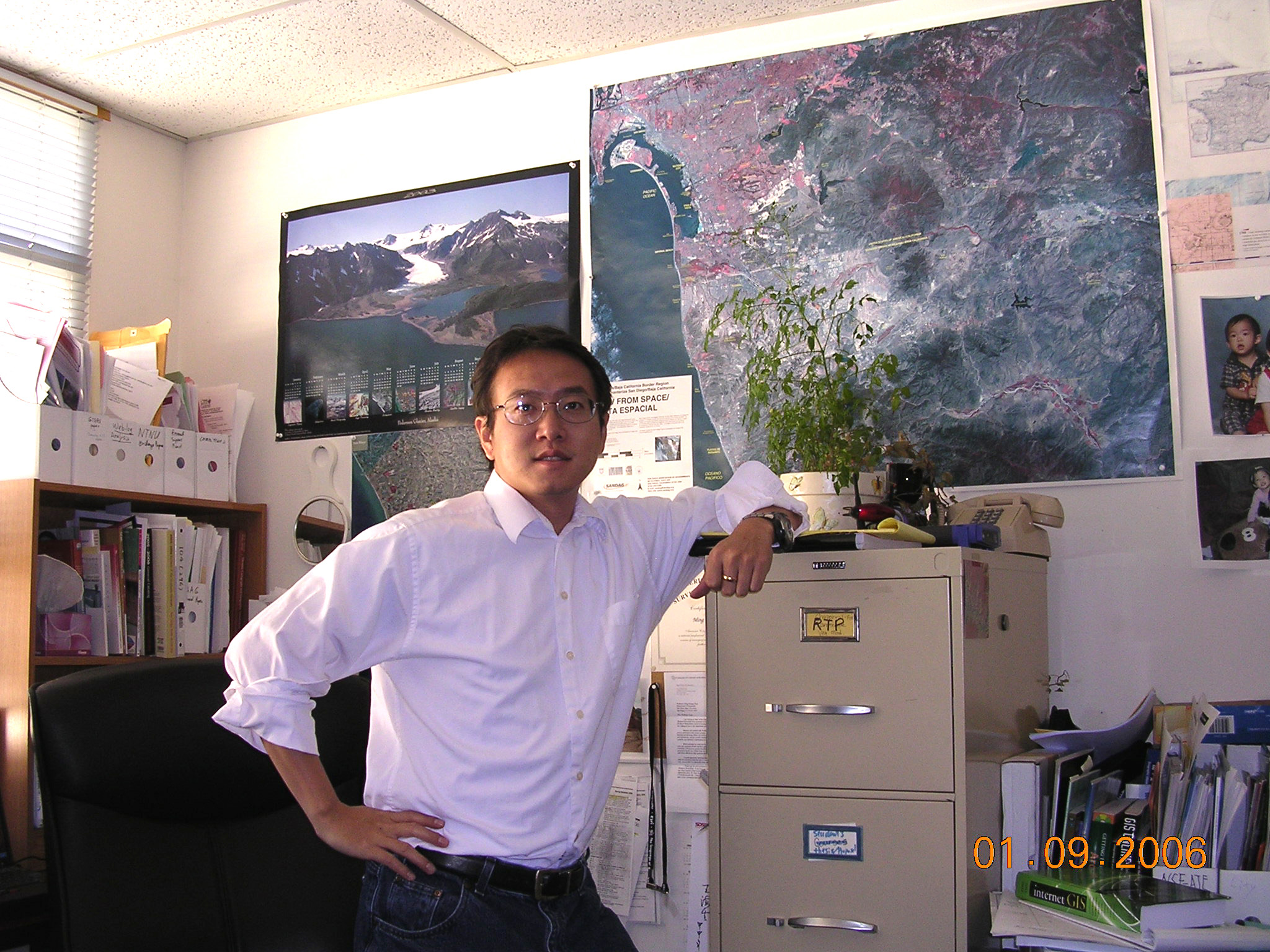
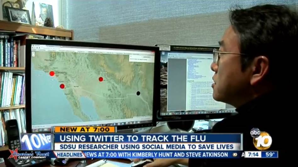
Dr. Ming-Hsiang (Ming) Tsou is a Professor in the Department of Geography, San Diego State University (SDSU) and the Director of Center for Human Dynamics in the Mobile Age (HDMA). He received a B.S. (1991) from National Taiwan University, an M.A. (1996) from the State University of New York at Buffalo, and a Ph.D. (2001) from the University of Colorado at Boulder, all in Geography. His research interests are in Human Dynamics, Social Media, Big Data, Visualization, Internet Mapping, Web GIS, Mobile GIS, Cartography, and K-12 GIS education. He is co-author of Internet GIS, a scholarly book published in 2003 by Wiley and served on the editorial boards of the Annals of GIS (2008-), Cartography and GIScience (2013-) and the Professional Geographers (2011-2019), International Journal of Digital Earth (2022 -) and International Journal of Geographic Information Science (2019-) . Tsou was the Chair of the Cartographic Specialty Group (2007-2008), the Chair of Cyberinfrastructure Specialty Group (2012-2013) in the Association of American Geographers (AAG), and the co-chair of the NASA Earth Science Enterprise Data System Working Group (ESEDWG) Standard Process Group (SPG) from 2004 to 2007. He has been served on two U.S. National Academy of Science Committees: “Research Priorities for the USGS Center of Excellence for Geospatial Information Science” (2006-2007) and “Geotargeted Alerts and Warnings: A Workshop on Current Knowledge and Research Gaps” (2012- 2013). From 2008 to 2018, Tsou served as a senior researcher in the GeoTech Center to promote GIS education in community colleges and high schools and conducted professional training workshops for GIS educators annually ( http://www.geotechcenter.org/). In 2010, Tsou was awarded to a $1.3 million research grant funded by National Science Foundation and served as the Principal Investigator (PI) of, "Mapping ideas from Cyberspace to Realspace" (http://mappingideas.sdsu.edu/) research project (2010-2014). This NSF-CDI project integrates GIS, computational linguistics, web search engines, and social media APIs to track and analyze public-accessible websites and tweets for visualizing and analyzing the diffusion of information and ideas in cyberspace. In Spring 2014, Tsou established a new research center, Human Dynamics in the Mobile Age(http://humandynamics.sdsu.edu/), a transdisciplinary research area of excellence at San Diego State University to integrate research works from GIScience, Public Health, Social Science, Sociology, and Communication. Tsou is the founding director of the HDMA Center. In Fall 2014, Tsou received a NSF Interdisciplinary Behavioral and Social Science Research (IBSS) award for “Spatiotemporal Modeling of Human Dynamics Across Social Media and Social Networks” ($999,887, 2014-2018). This large interdisciplinary research project studies human dynamics across social media and social networks, focusing on information diffusion modeling over time and space, and the connection between online activities and real world human behaviors.
In 2019, Tsou established the Big Data Analytics Program (Master of Science) at San Diego State University and served as the founding program director of the Big Data Analytics Program starting in Fall 2019 semester. The SDSU Big Data Analytics (BDA) Program is a transdisciplinary program across technology, business, engineering, science, and social science domains leading to a Master of Science Degree in Big Data Analytics. The two-year program is operated in a collaborative and active transdisciplinary educational environment for students and professionals who wish to advance their knowledge and skills in the fast growing fields of data science and data analytics.
In 2020, Tsou created a research web hub for COVID-19 outbreaks and the mapping services of medical vulnerable population in San Diego (https://hdma-sdsu.github.io/ ). He is collaborating with several SDSU faculty from Public Health, Linguistics, Mathematics and Statistics, and Communication to develop a predictive model for COVID-19 spread patterns and to examine the geographic variations in social contexts, social determinants of health (SDOH), and their influence on minority population and health disparities in relation to the COVID-19 outbreak. In 2023, Tsou is included in the World’s Top 2% of Scientists List published by Stanford University.
AWARDS AND HONORS
Teaching Awards
- 2018 CPGIS Education Excellent Award (The International Association of Chinese Professionals in Geographic Information Science).
- 2016: Excellence in Education Award, California Geographic Information Association (CGIA).
- 2011: The San Diego State University Senate Excellence in Teaching Award for 2010-2011 (the College Awardee).
- 2010: Outstanding Faculty Award, San Diego State University.
- 2004: Outstanding Faculty Award, San Diego State University. (The Outstanding Faculty Awards are in recognition as the most influential university professor in the academic career of the Outstanding Graduating Senior.)
Professional and Research Awards and Honors
- 2019-2020: The Excellence in Research Award (for tenured faculty) at the College of Arts and Letters, San Diego State University ($1500).
- Elected Board of Directors (elected by the University Senates), San Diego State University Research Foundation (2014 – present).
- Founding Director of the Center for Human Dynamics in the Mobile Age (only four selected clusters from total 28 proposals submitted via the call in the SDSU strategic plan in 2014).
- 2015: The Best Methods Paper Award at the 2015 International Conference of Social Media and Society (July 27 – 29, 2015, Toronto, Canada).
- 2012: The President's Leadership Fund (PLF) Faculty and Staff Awards for Excellence, San Diego State University (Award funding: $5,000).
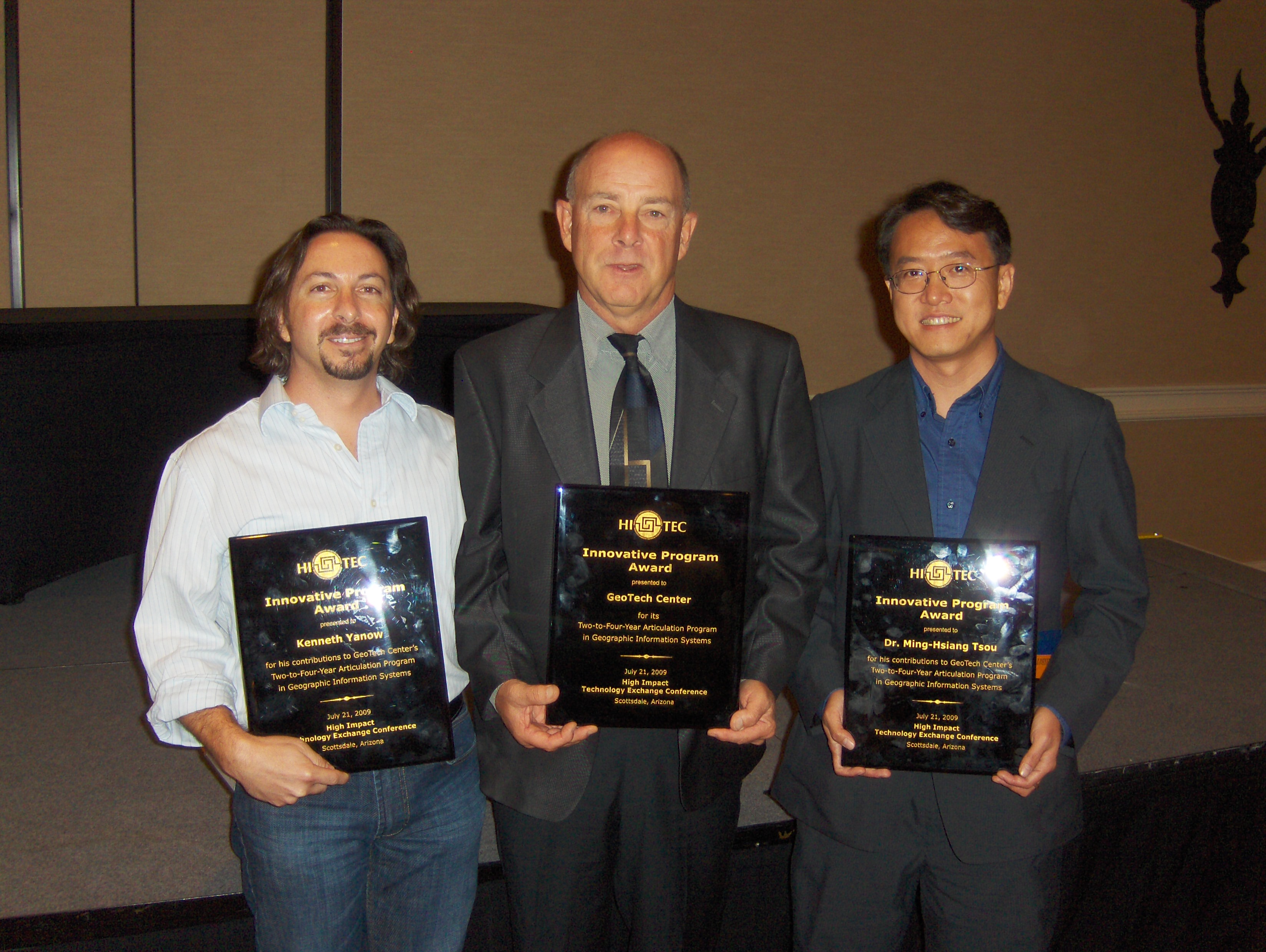
- 2009: HI-TEC (education) Innovative Program award at the 2009 HI-TEC conference (National Science Foundation: High Impact Technology Exchange Conference) with Professor Kennth Yanow at Southwestern College.
Serving on National Academy of Science Committees
- 2012- 2013: National Research Council of the National Academy of Science (NAS), Committee on Geotargeted Alerts and Warnings: A Workshop on Current Knowledge and Research Gaps. Committee member, 2012- Current. (Research gap analysis for Department of Homeland Security and FEMA). http://www.nap.edu/catalog.php?record_id=18414
- 2006-2007: National Research Council of the National Academy of Science, Committee on Research Priorities for the USGS Center of Excellence for Geospatial Information Science, Committee member. 2006-2007. http://www.nap.edu/openbook.php?record_id=12004
RESEARCH HIGHLIGHTS
- Google Scholar:
https://scholar.google.com/citations?user=3eatNZEAAAAJ&hl=en
ORCID ID: http://orcid.org/0000-0003-3421-486X - Extramural Support Total: $33.19 million (accumulative funding amounts as PI or CO-PI: $4,398,500. and as Co-Investigator: $28,777,105.)
- PUBLICATIONS (one co-authored book, two co-edited book, two journal special issues, one co-authored NRC report, and 113 refereed articles, including 59 journal papers, 25 refereed book chapters, 9 encyclopedia entries, and 20 refereed conference proceedings).
- Peng, Z.R. and Tsou, M. H. (2003). Internet GIS: distributed geographic information services for the Internet and wireless networks. (720 pages, publisher: John Wiley & Sons, Inc. This scholarly book has been widely cited by many research papers and become one major literature in the research field of Web GIS.
- Atsushi Nara and Ming-Hsiang
Tsou (Co-Editors): (2021). Empowering Human
Dynamics Research with Social Media and Geospatial
Data Analytics. Springer. (Total: 15
chapters).
https://link.springer.com/book/10.1007/978-3-030-83010-6
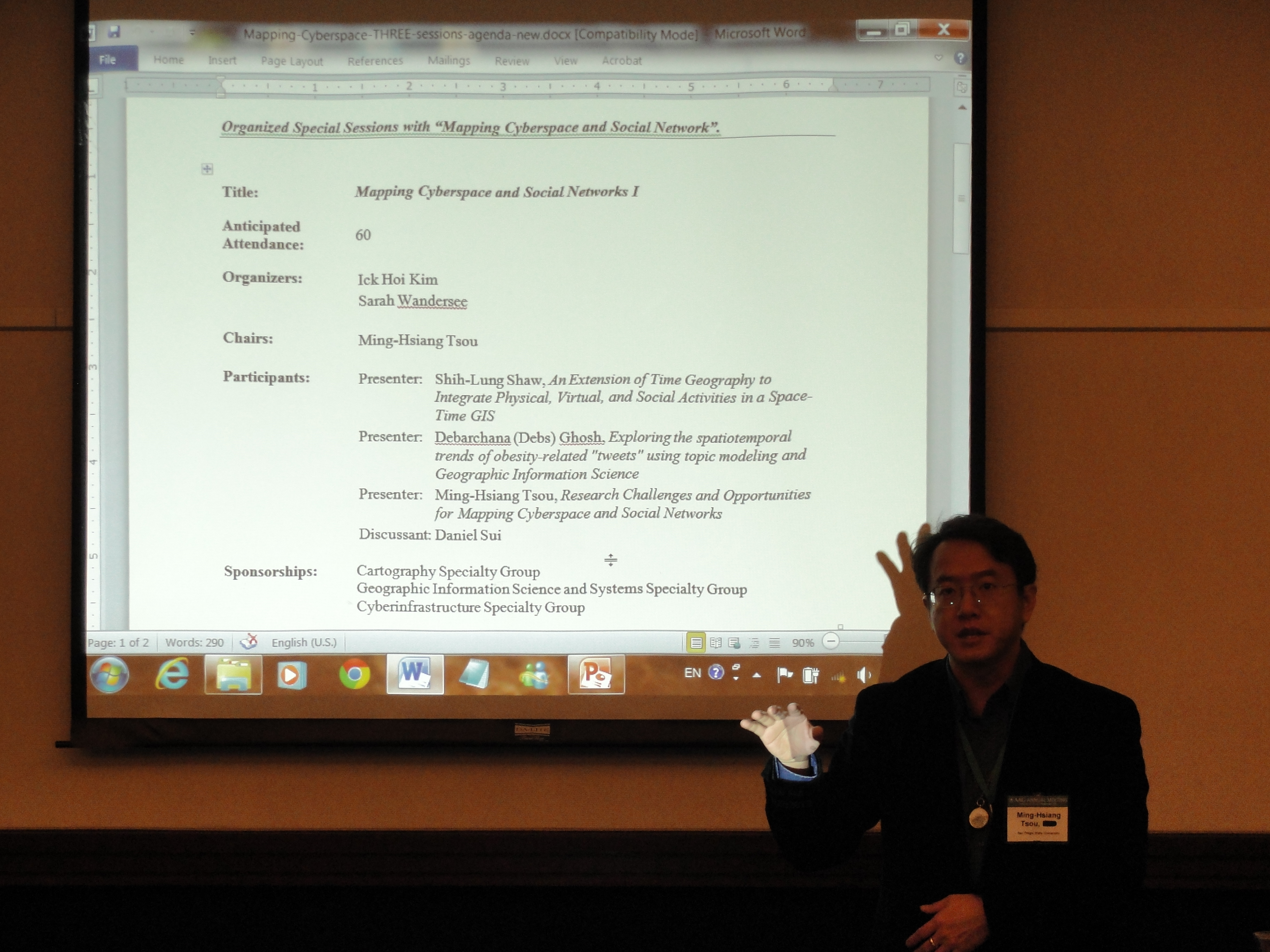
• Tom Cova and Ming-Hsiang Tsou (Co-Editors): (2018). Comprehensive Geographic Information Systems: Volume 1: GIS Methods and Techniques, Reference Module in Earth Systems and Environmental Sciences. Elsevier (Total: 35 chapters). - Tsou, M. H. and Leitner, M. (guest editors) (March 2013 issue). Special Content Issue: “Mapping Cyberspace and Social Media”. Cartography and Geographic Information Science. 2013.
- 2016-2019 PI (Tsou). National Science Foundation: Infrastructure Management and Extreme Events (IMEE) Award for “Integrated Stage-based Evacuation with Social Perception Analysis and Dynamic Population Estimation” (Award#: 1634641, Funding Amount: $465,189, 2016-2019, three years). Co-PIs: Dr. Atsushi Nara (Geography and GIS), Dr. Xianfeng Yang (Civil Engineering), and Dr. Sahar Ghanipoor Machiani. Using Big Data-driven techniques, this project will integrate multiple data sources including social media, census survey, geographic information systems (GIS) data layers, volunteer suggestions, and remote sensing data to develop an integrated wildfire evacuation decision support system (IWEDSS). http://decisionsupport.sdsu.edu
| 2014-2018 | PI (Tsou). National Science Foundation Interdisciplinary Behavioral and Social Science Research (IBSS) award for “Spatiotemporal Modeling of Human Dynamics Across Social Media and Social Networks” ($999,887, 2014-2018). Collaborate with Drs. Jay Lee (Co-PI, Kent State), Ruoming Jin (Co-PI, Kent State), Xinyue Ye (Kent State), Brian Spitzberg (Co-PI, SDSU), Jean Marc Gawron (Co-PI, SDSU), Heather Corliss (SDSU), and Xuan Shi (U of Arkansas). This large interdisciplinary research project will study human dynamics across social media and social networks, focusing on information diffusion modeling over time and space, and the connection between online activities and real world human behaviors. (http://socialmedia.sdsu.edu/) |
| 2013-2015 | Senior Personnel (Tsou). GeoTech Center 2.0. National Science Foundation (NSF) Advanced Technology Education (ATE) program. PI: Vincent A. DiNoto, Jr., Director of GeoTech Center, Jefferson Community and Technical College. SDSU Sub-award: $54,895. (2013-2015). (http://www.geotechcenter.org/) |
| 2010-2014 | PI (Tsou). National Science Foundation (NSF) Award: “CDI-Type II: Mapping Cyberspace to Realspace: Visualizing and Understanding the Spatiotemporal Dynamics of Global Diffusion of Ideas and the Semantic Web.” 09/01/2010- 08/31/2014. (48 months). Award # 1028177. (Co-PIs: Dipak K Gupta, Political Science, SDSU; Jean Marc Gawron, Linguistics, SDSU; Brian Spitzberg, Communication, SDSU, Senior Personnel: An Li, Geography). Funding Amount: $1,300,213. (http://mappingideas.sdsu.edu/) |
| 2012 | PI (Tsou). GIS Mapping for Older Adult Services in San Diego. San Diego Foundation. $33,448. (Jan 2012 – Dec 2012). (Co-PI: Dr. Yawen Li, School of Social Work) (http://mappingideas.sdsu.edu/health/) |
| 2009 | Co-Investigator (Technology developer). Founding Agency: the San Diego Foundation. MAPS (Metropolitan Area Pluralism Study).PI: Dr. Rebecca Moore, Department of Religious Studies, SDSU. $ 23,000 (2009 – 2010). (http://geoinfo.sdsu.edu/maps/) |
| 2009 | PI (Tsou). Bizarre Map Challenge (BMC): A Nationwide Map Design Competition, funded by the National GeoTech Center (NSF-supported). (Nine months, Dec 1, 2009 – August 31, 2010). $31,000. Completed. (http://bizarremap.sdsu.edu/) |
| 2009 | PI (Tsou). International Community Foundation. “Baja-Eco-Info Mapping Tool: Mapping Conservation and Threats for the Gulf of California”, (nine months, Jan 1, 2009 – August 31, 2009). $11,500. Completed. (http://geoinfo.sdsu.edu/baja/) |
TEACHING INNOVATIONS:
- SDSU Big Data Analytics (BDA) Master of Science Program: https://big.sdsu.edu/
- The GIS iBook development: the "Introduction to GIScience" Collaborative Textbook Project for iPad devices. Editors: Ming-Hsiang Tsou, Cynthia Paloma (graduate student), and Yi-ting Chuang (graduate student): http://mappingideas.sdsu.edu/ibook/
- GIS Career and Education Awareness website and online learning modules: http://geoinfo.sdsu.edu/hightech/
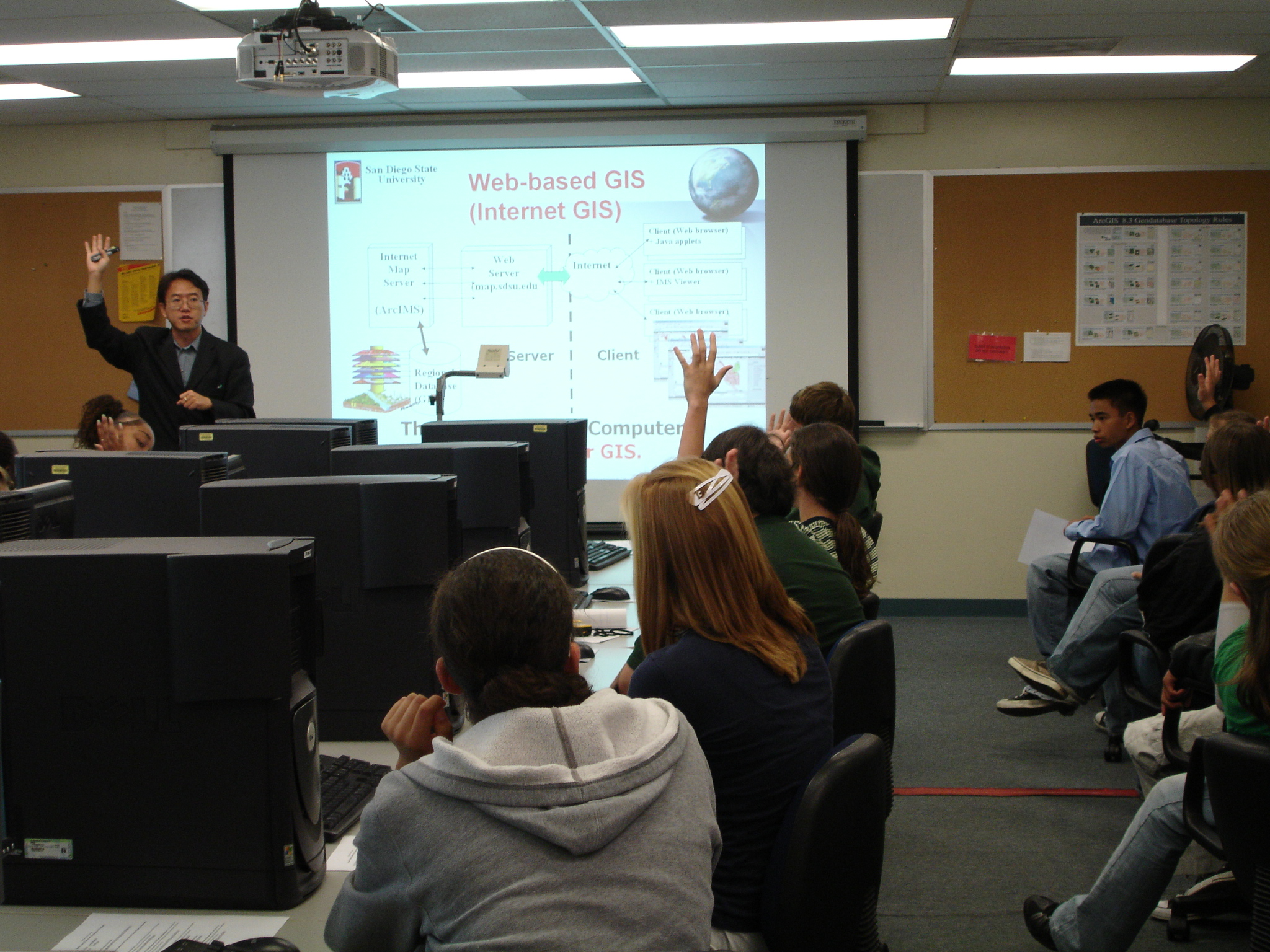
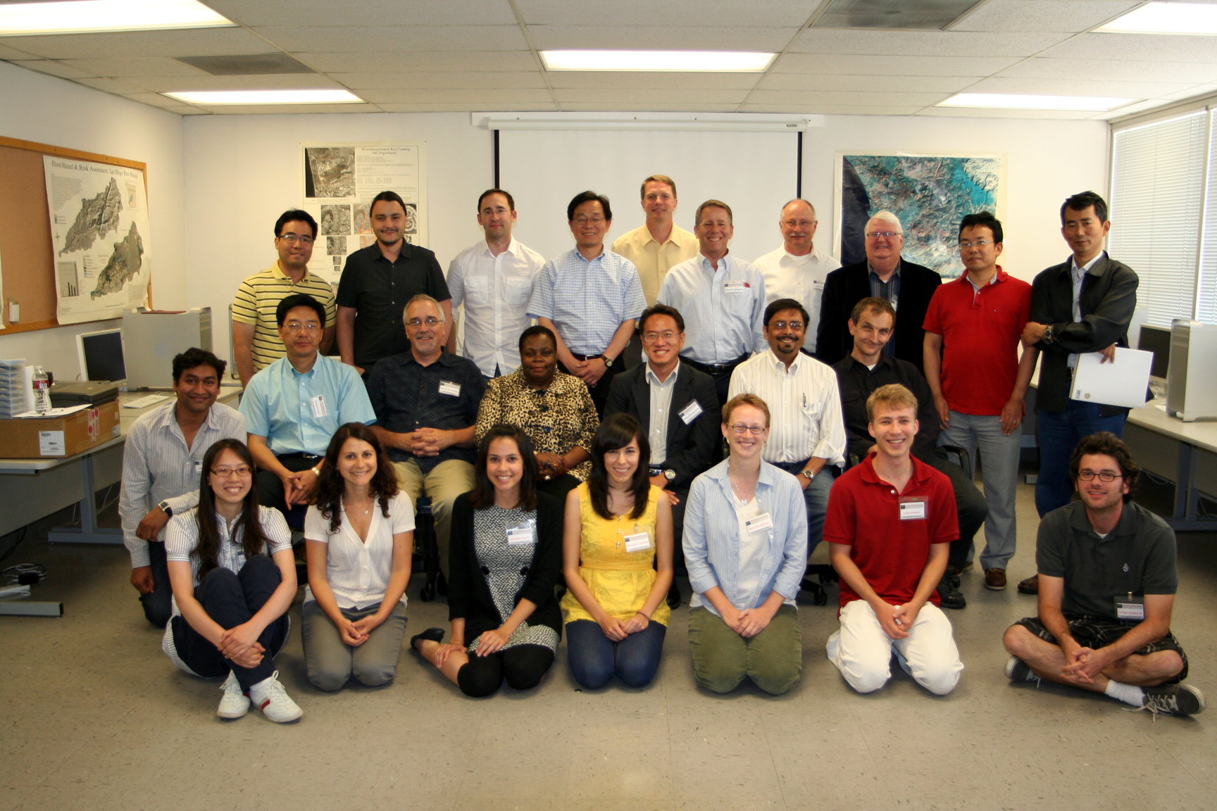
- Geospatial Technology Summer Workshops for community college teachers and high school teachers (2009 – 2013): http://geoinfo.sdsu.edu/hightech/GISWorkshop2012.htm
- Social Networking Media (Facebook) for Teaching Aids: a Facebook Page for the introduction of Geospatial Technology. (http://www.facebook.com/pages/Geospatial-Technology-at-SDSU-GEOG104-GEOG381-GEOG583/129010146571?ref=mf).
- YouTube Channel for Geospatial Technology: http://geoinfo.sdsu.edu/hightech/GISVideos.htm