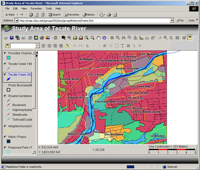
Help for Feature Server
To see layers click on the check box.
To "activate" the layer so you can play with it, click on the name of the layer
To change the layer symbols or colors double click on the name.
The tool bar at the top of the map has buttons. You can create your own "project" by selecting the folder button. Then you can import external GIS data with the "plus button" (from a network or local drive) or the WWW using the "Globe" button.
The printer button creates a nice "layout"
The next button allow you to zoom and move around on the map.
The "i" button lets you identify features from the active layer by clicking on the map.
Use the binoculars to "find" features of interest (ie. find "Chapparal")
Use the "?" button to ask Boolean questions of the active layer (ie. area<3000)
The ruler button measures distances.
You can edit this map by using the rest of the tools consult the ArcIMS on-line manual for advanced GIS functions.
You can save a "snapshot" of your map that you edited by pressing alt + Print Screen and pasting onto another document.