Mobile GIS with GPS mapping
We used mobile GIS technologies (ESRI ArcPAD and wireless blue tooth GPS) to
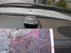
take some digital videos and high-resolution photos by driving through the
Highway 52 and around mission trail regional park (MTRP) on November 12, 2003.
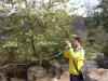
Special thanks to Lloyd (Pete) Coulter
for driving the vehicle and taking these digital pictures. Also thanks to John
Ryan for introduce the panorama image concepts.
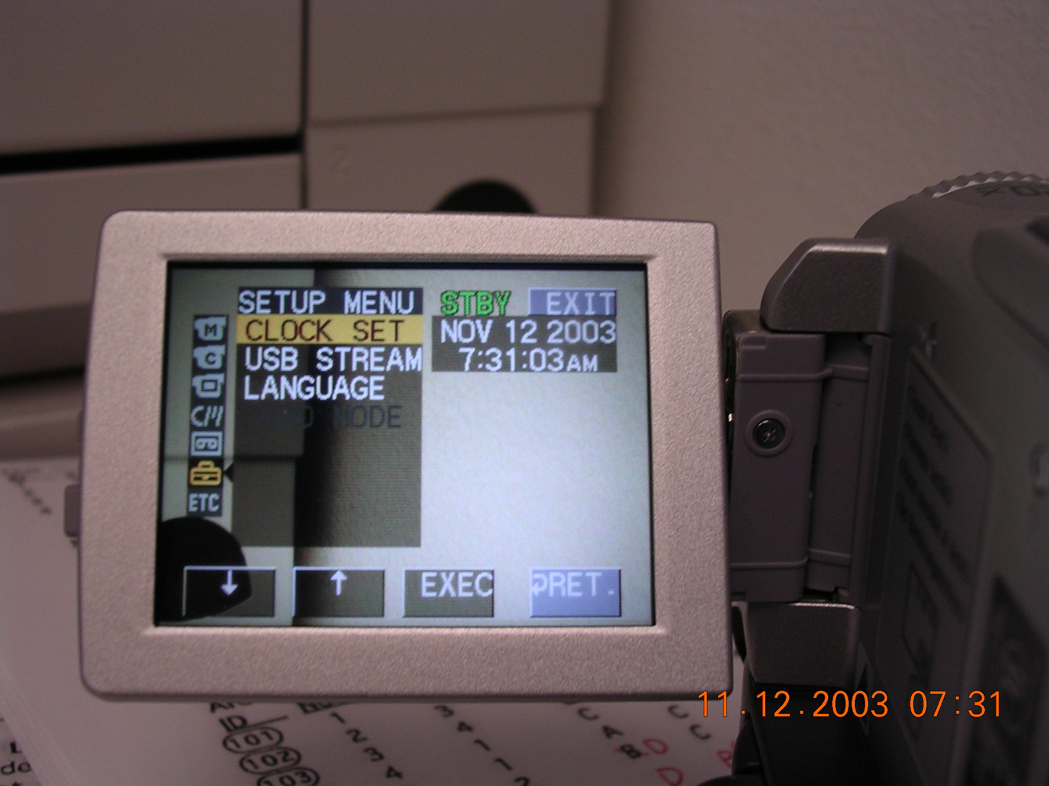
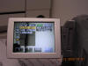 (The first step: synchronize the time clock between the digital video, Pocket
PC, and digital camera.)
(The first step: synchronize the time clock between the digital video, Pocket
PC, and digital camera.)
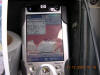 (connect the wireless blue tooth GPS (left) with Pocket PC (right).

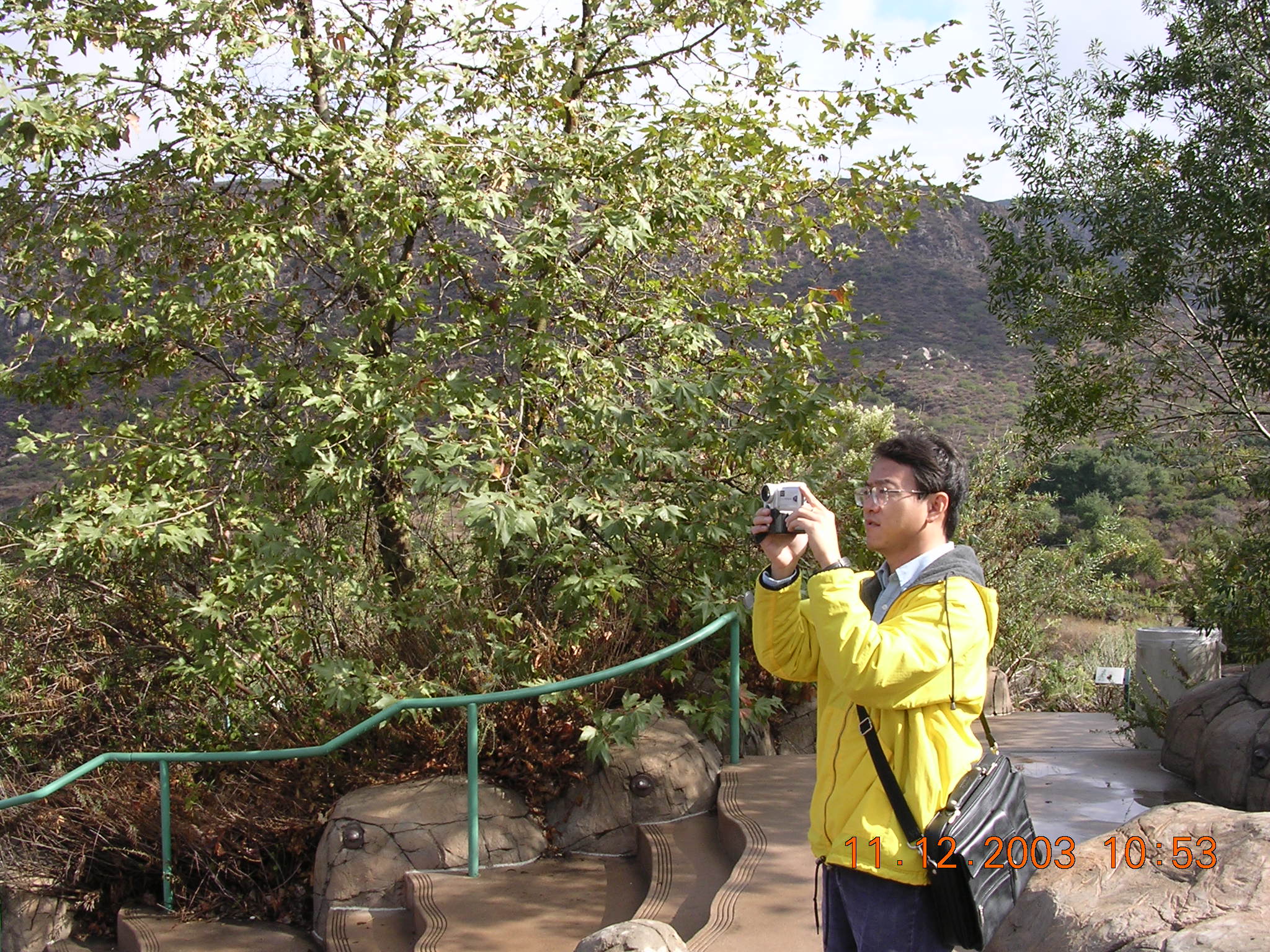
 (take videos and pictures)
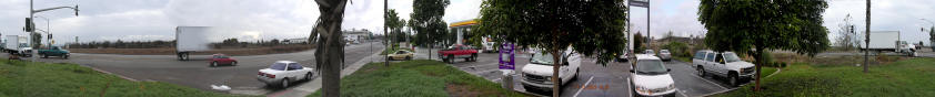
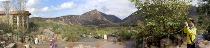 (create
the panoramic view, at the Visitor Center of Mission Trail Regional Park)
(create
the panoramic view, at the Visitor Center of Mission Trail Regional Park)
(Click Here to see the QuickTime Movie
for Panoramic View: Download File Size: 8MB. You need to have
QuickTime Movie Viewer)
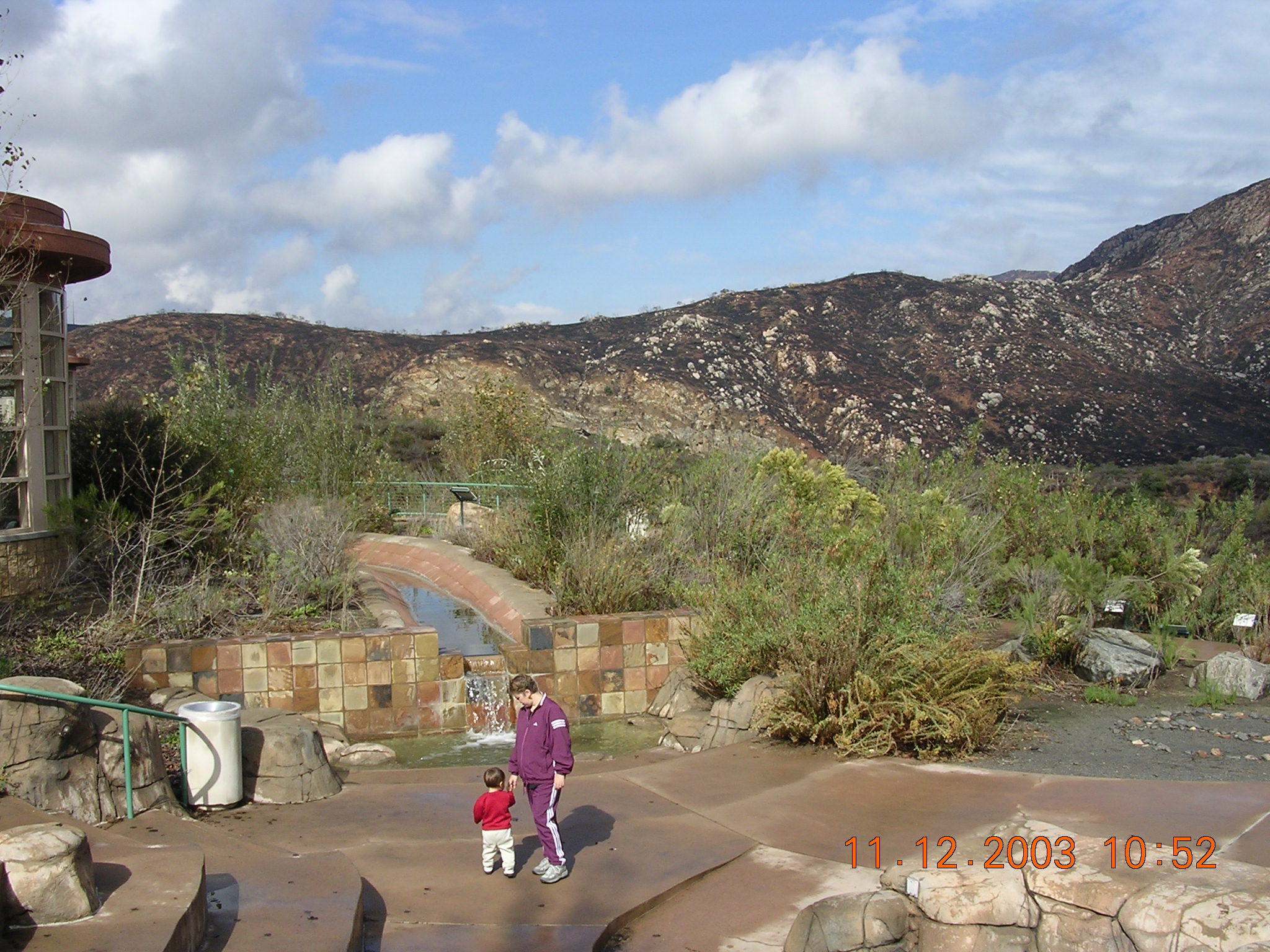
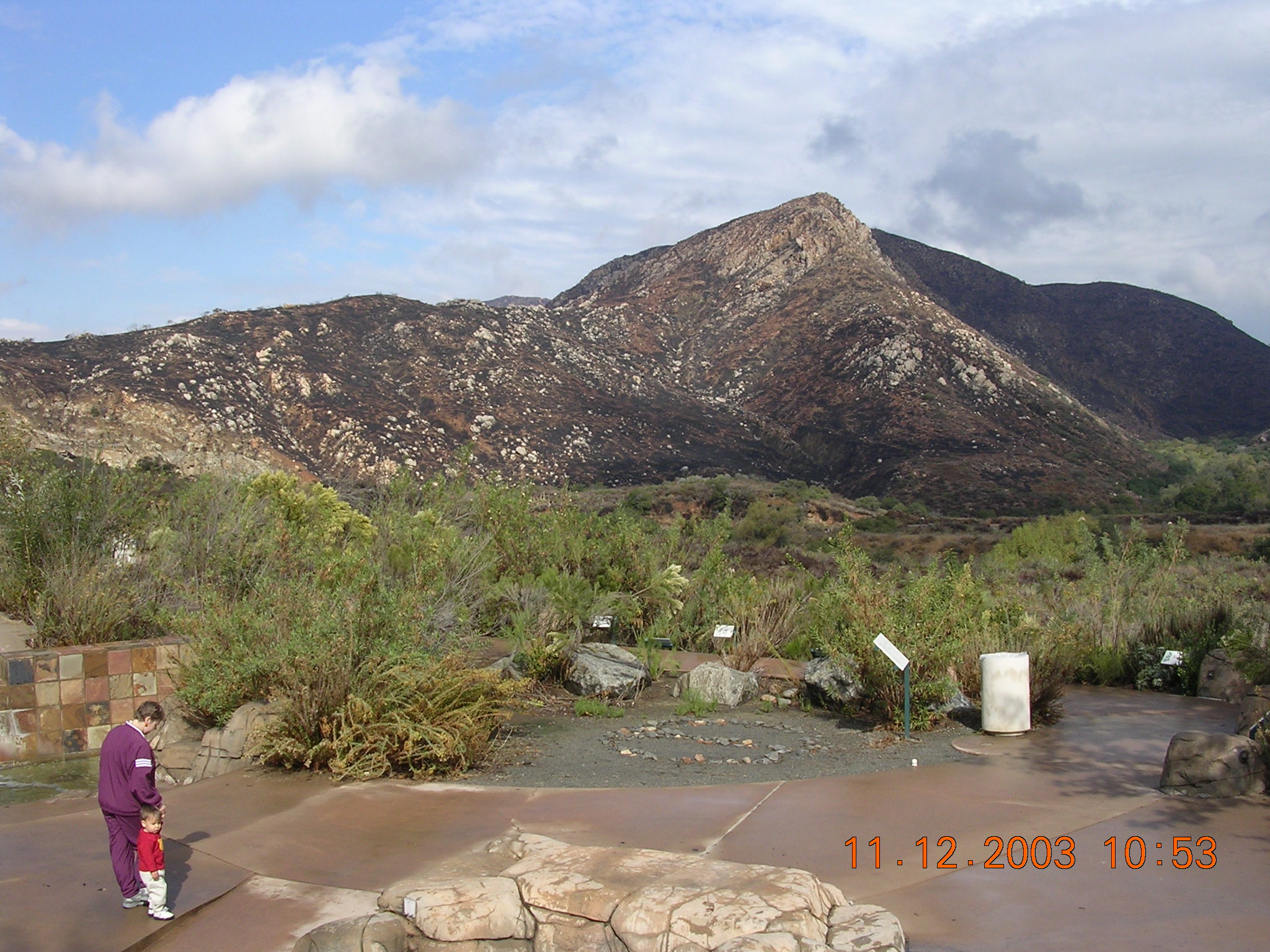
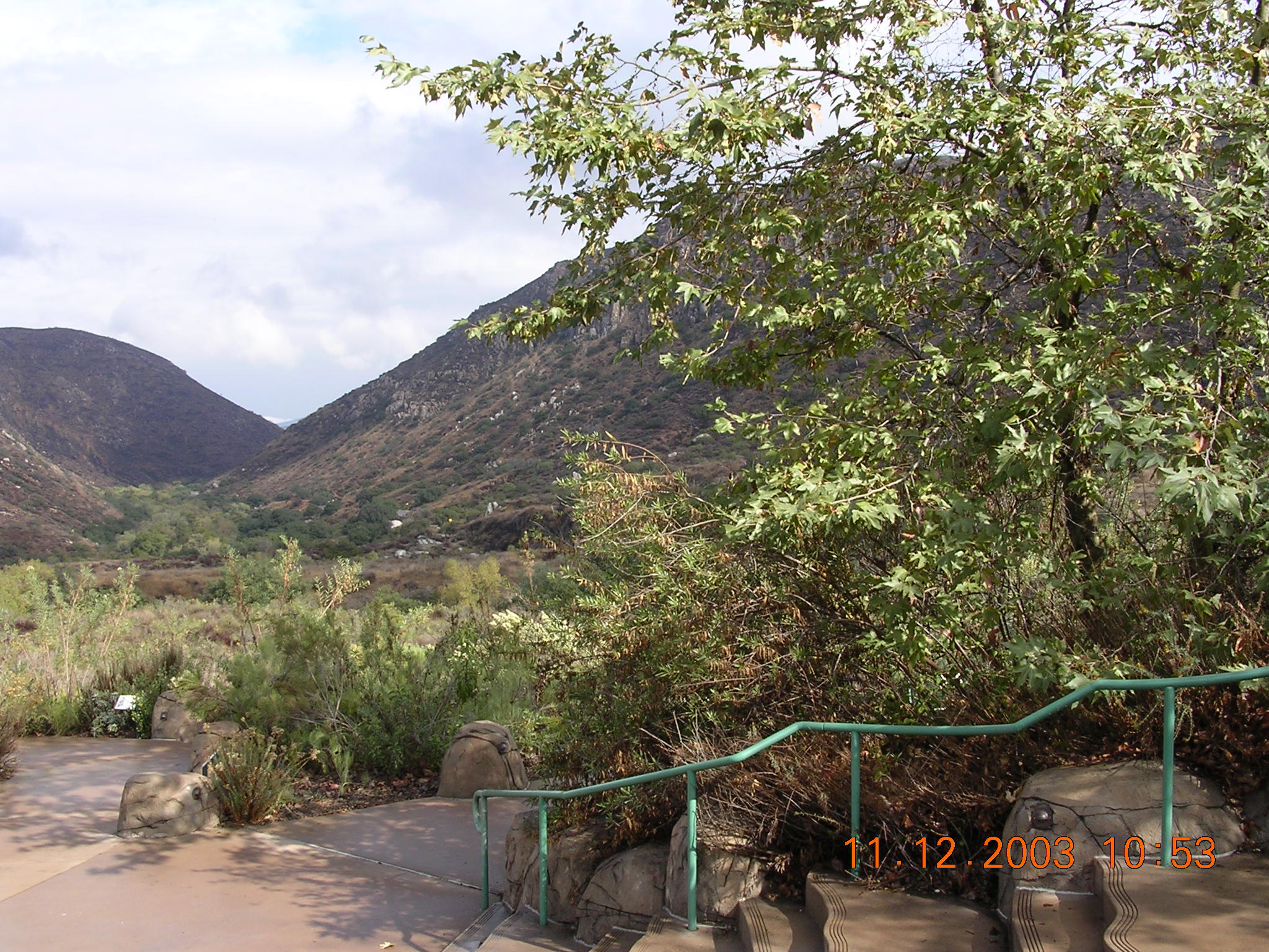
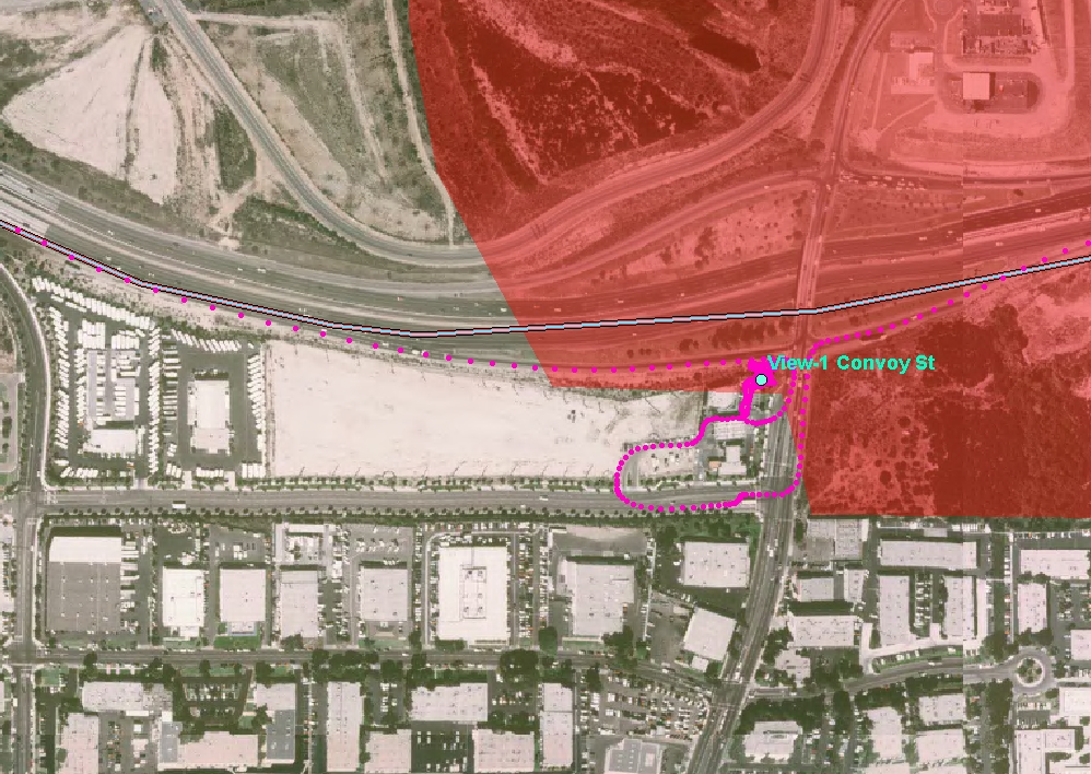
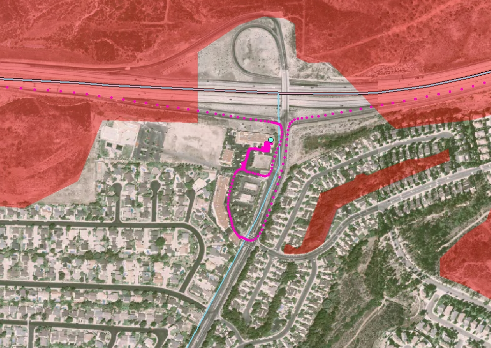
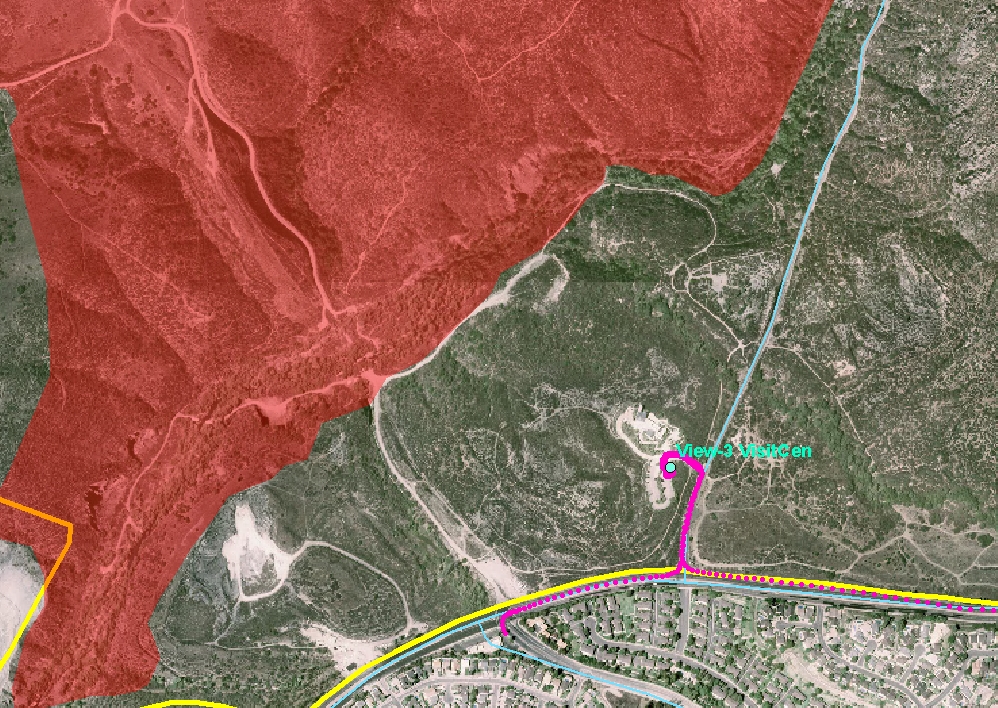
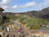
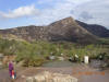
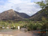
These videos and pictures show where the wildfire stops and the preliminary
damage in these area (red shading). The following map was created by using
a GPS tracking log data (pink line is showing our vehicle driving path) with the
location (blue dot) of high-resolution pictures with panorama 360 degree view.
The yellow line is the boundary of mission trail regional park. (Click the
blue text to zoom in)
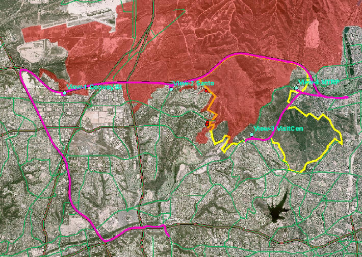
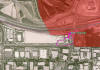
View1: Convoy Street and Highway 52.
(Click Here to see the QuickTime Movie, 20MB)


View2: Santo Road and Highway 52
Click Here to see the QuickTime Movie
(23MB)


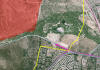
View3: North Entry of Mission Trail Regional Park
Click Here to see the QuickTime Movie
(21MB)


View 4: Mission Trail Regional Park, Visitor Center
Click Here to see the QuickTime Movie
(8MB)


Other pictures:


Click here to see more "fire pictures"
provided by Jim Samuelson
Coming soon. The digital video
clips!