
Project Introduction
Project Objective
Project Task
Technical Issue
Market Phasing
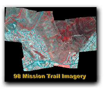
Image
Overlay
Image Swipe
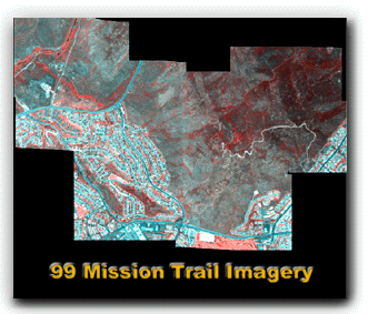
Image
Magnifier
Image Processing
Image Viewing
Panoramic
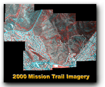
Image
 |
||
 |
||
 |
 |
Metadata Simple Version |
|
 |
Metadata Simple Version |
|
 |
||
 |
2001
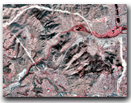
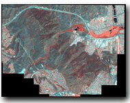
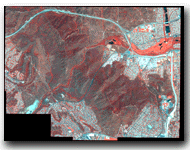
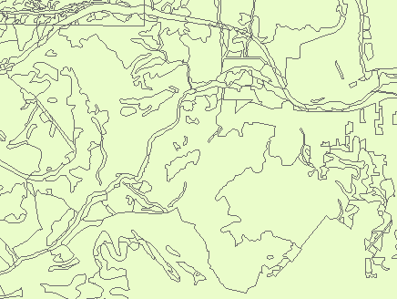
Mission Trail IKONOS Multispectral Stateplane Image Metadata Simple Version |
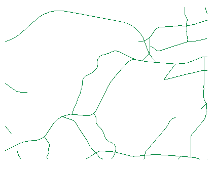
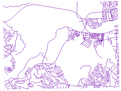
Road
Metadata -----
Image
(GIF) ----- Code Document
----- Download
Major Road
Metadata
----- Image
(GIF) ----- Code Document -----
Download
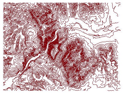
Contour
Metadata
-----
Image
(GIF) -----
Code Document ----- Download
Trail
Metadata
-----
Image (GIF)- ---- Code Document -----
Download
Stream
Metadata
----- Image
(GIF) -----
Code Document ----- Download
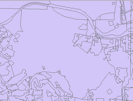
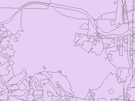
1995 Land Use
Metadata
----- Image
(GIF) -----
Code Document -----
Download
Existing Land Use
Metadata -----
Image
(GIF) ----- Code Document
----- Download
Soil Series
Metadata
----- Image
(GIF) ----- Code Document
----- Download
Vegetation
Metadata -----
Image
(GIF) ----- Code Document
----- Download
Steep Slope
Metadata
----- Image
(GIF) ----- Code Document
----- Download
National Wetland Inventory
Metadata -----
Image
(GIF) ----- Code Document
----- Download
Hydrologic Basins and Watersheds
Metadata
----- Image
(GIF) ----- Code Document
----- Download
Geology
Metadata
----- Image
(GIF) ----- Code Document
----- Download
Fire
Metadata -----
Image
(GIF) ----- Code Document
----- Download
Equestrian Boundary
Metadata
----- Image
(GIF) ----- Code Document
----- Download